Diary
Kaiyo Town, Tokushima Prefecture – Konan City, Kochi Prefecture [Clear]
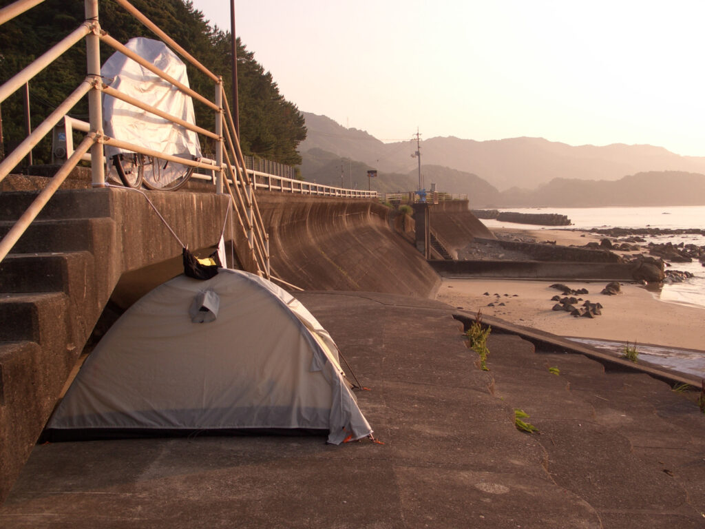
Woke up at 5:30 am. It was cool and humidity-free, and sleeping was very comfortable.
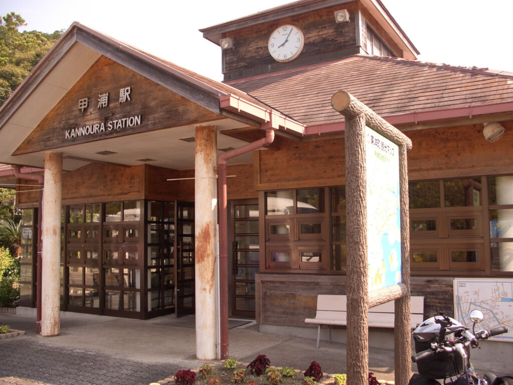
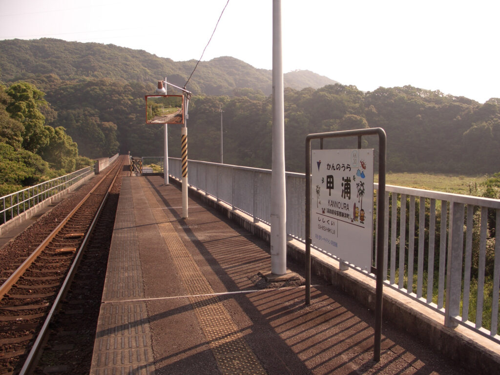
In the morning, after preparations are complete, I leave. I started around 7:30 a.m. I headed south on Route 55. Since entering Shikoku, I have been running with the railroad, but since Kouura Station is the last stop, I are finally saying goodbye to the railroad. The end of the line is very exciting, especially for diesel trains. I especially like the endpoints of diesel trains because they are simple and have no power lines.
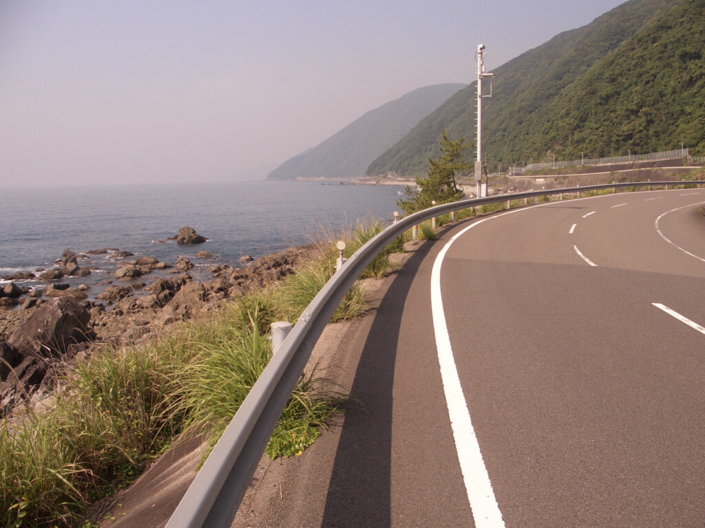
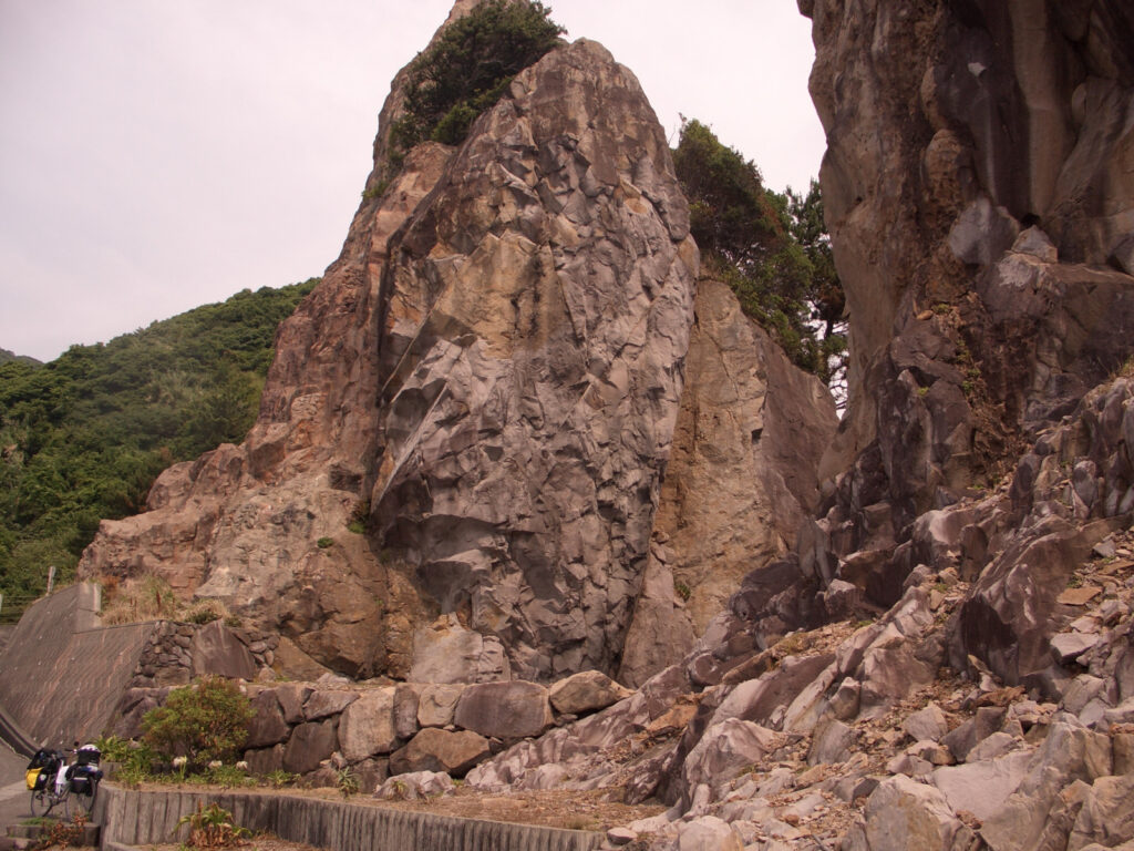
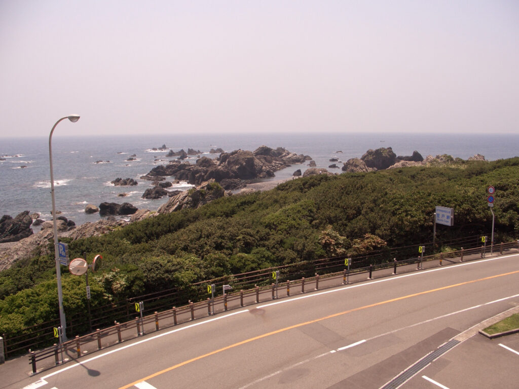
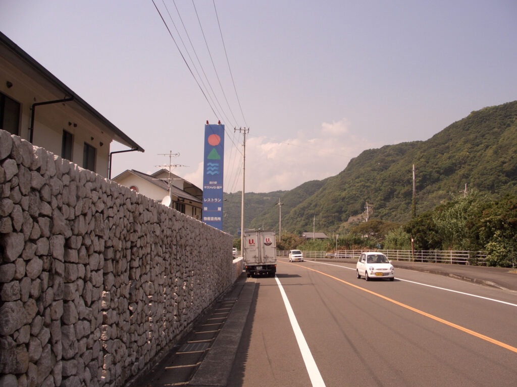
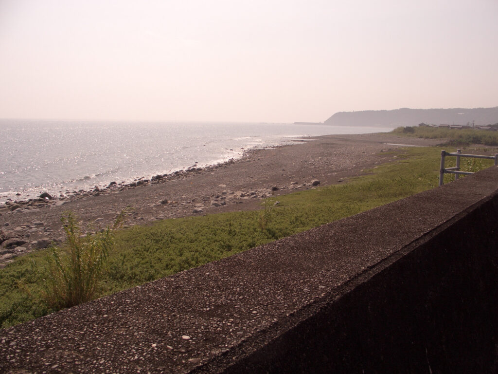
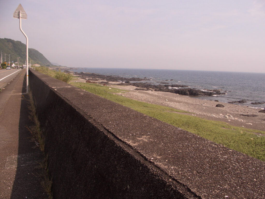
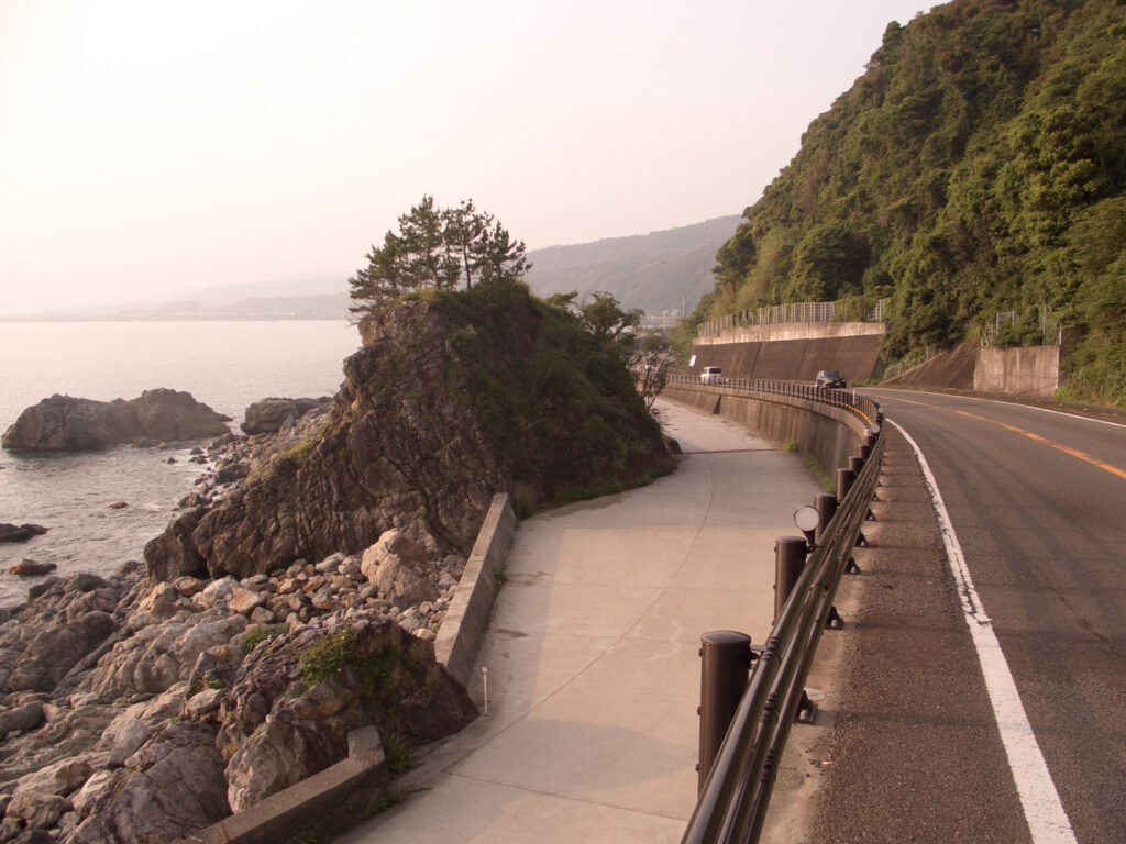
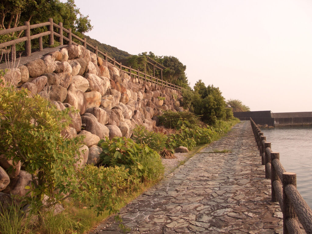
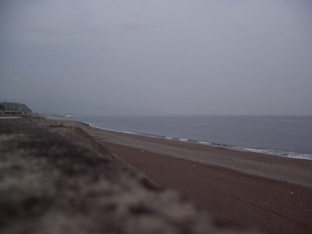
After that, I continued south. As I approached Muroto, the coast became more like a cliff. These places are often hilly and can be difficult for bicycles, but here they have dug a path along the coast, so it is quite easy to ride. There are no traffic lights, so it’s nonstop and comfortable!
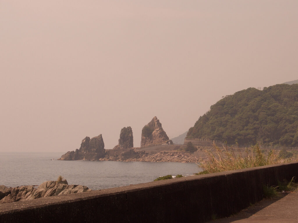
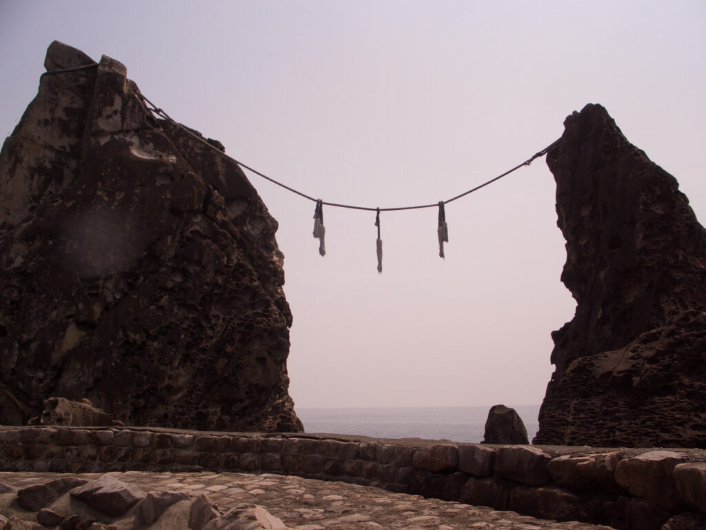
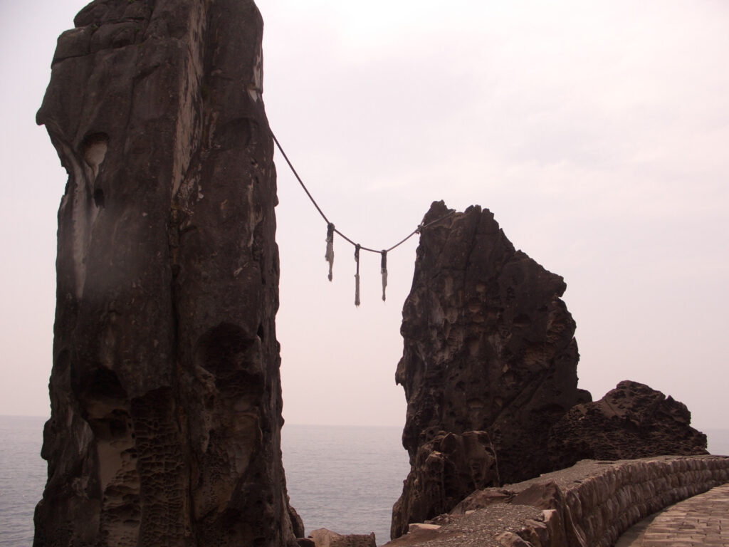
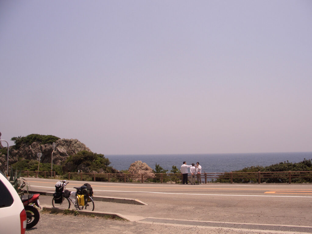
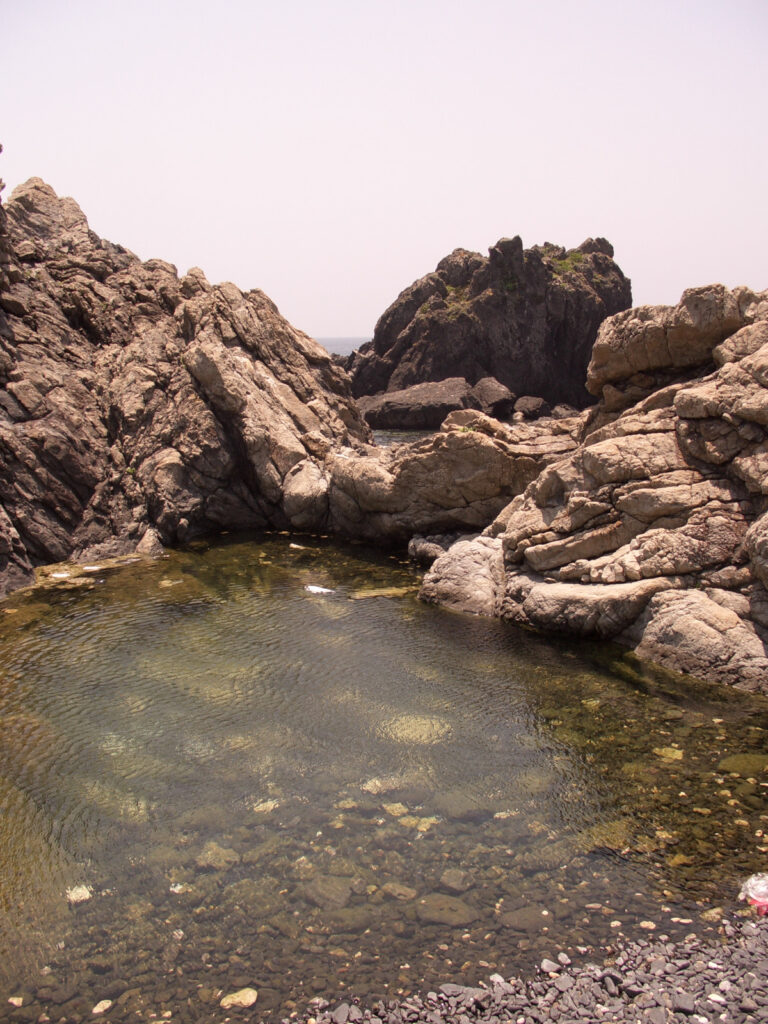
I met a couple in a black car with Kyoto license plates at Married Couple Rocks. I will meet these people three times in the future, and I am grateful for the cold tea they gave me.
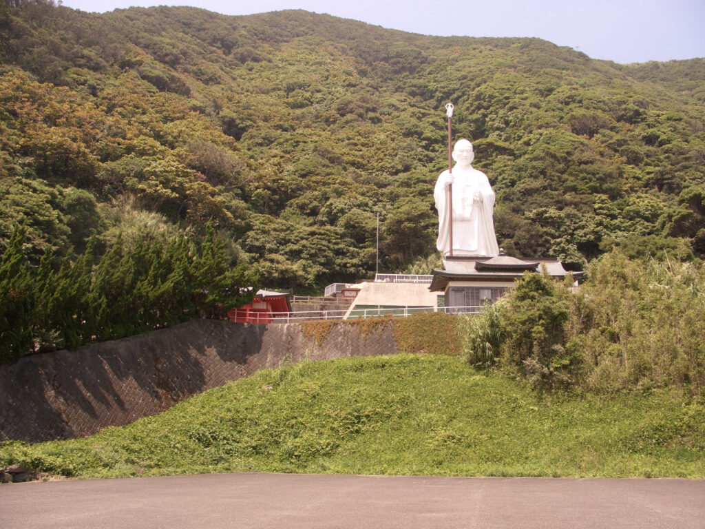
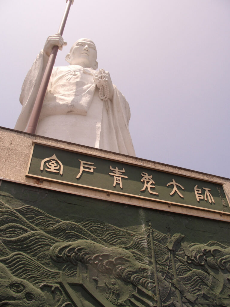
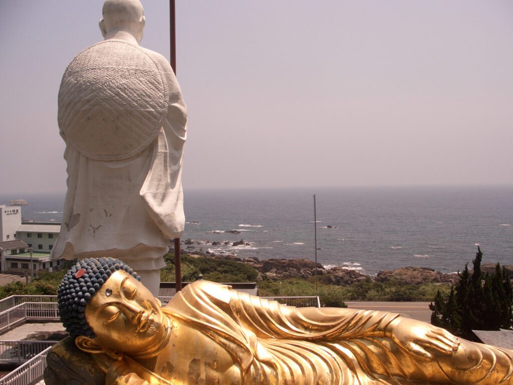
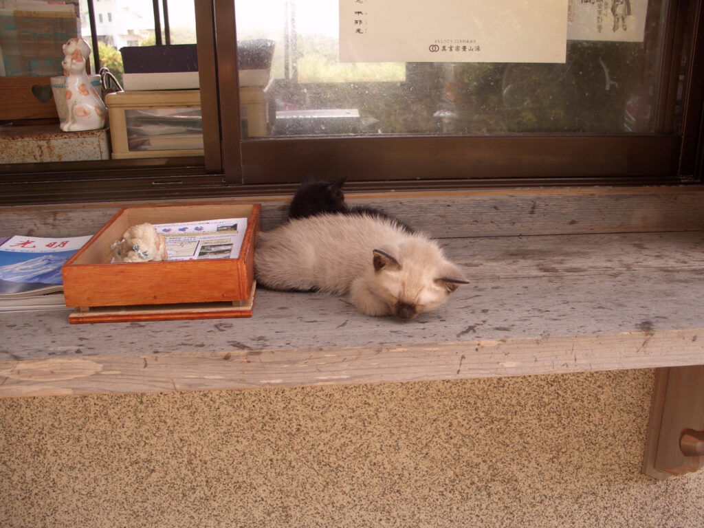
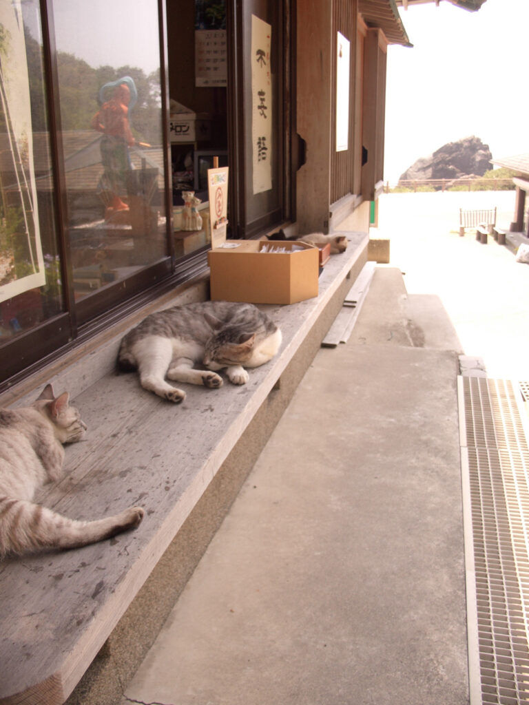
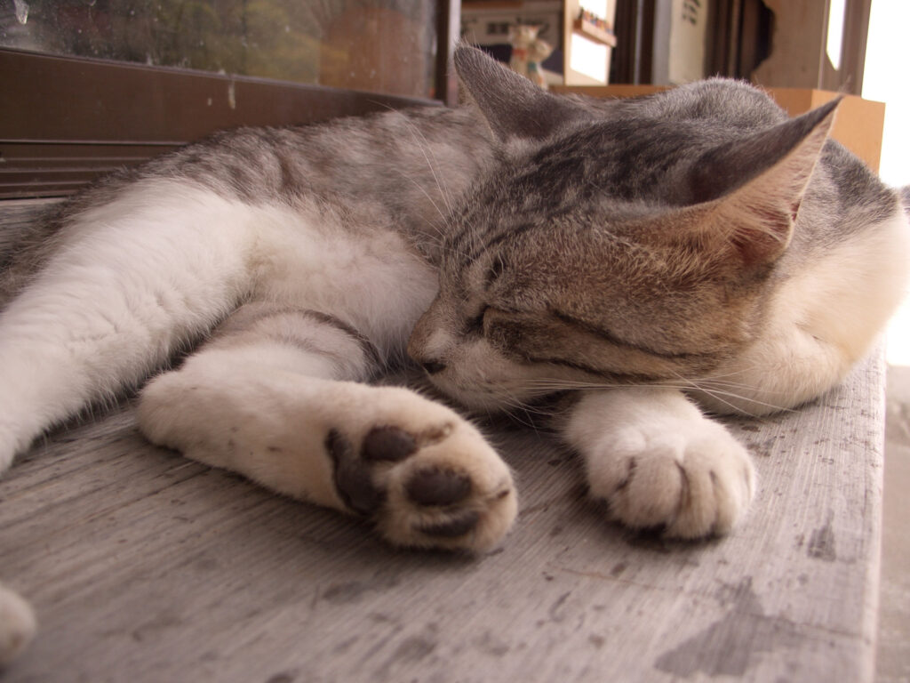
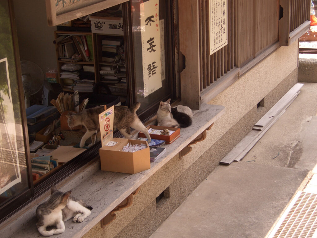
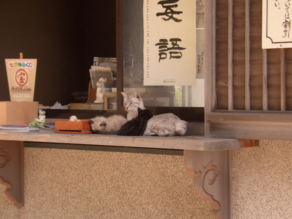
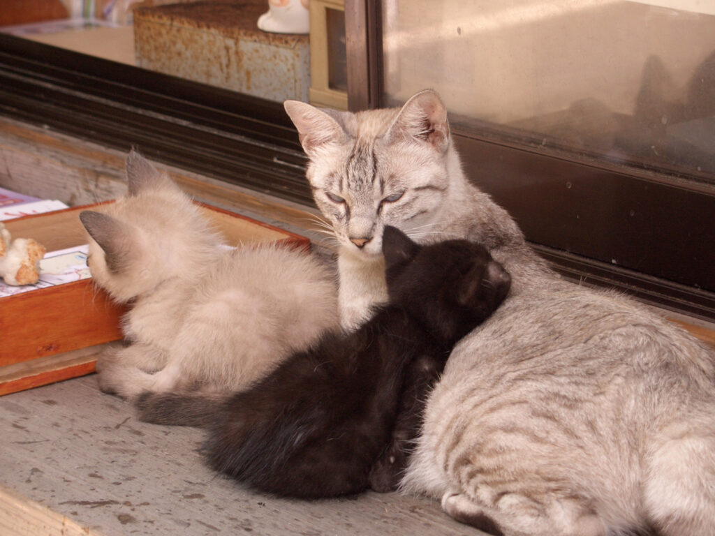
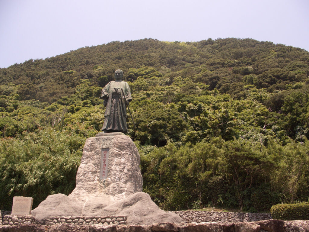
Highway 55 was very easy to drive all the way, but it was hard on my knees. It comes sometimes when I have a pain in my knee. As I approached Cape Muroto, a large statue came into view, even from a distance. It is a statue of Kobo Daishi. Cape Muroto is famous as the place where Kobo Daishi practiced asceticism when he was young. Since I had come all this way, I paid a visit to the statue. Under the statue of Kobo Daishi (inside the womb), there was a hanging scroll depicting the Buddhas of the 88 temples, which I could worship. But still, there were so many cats!
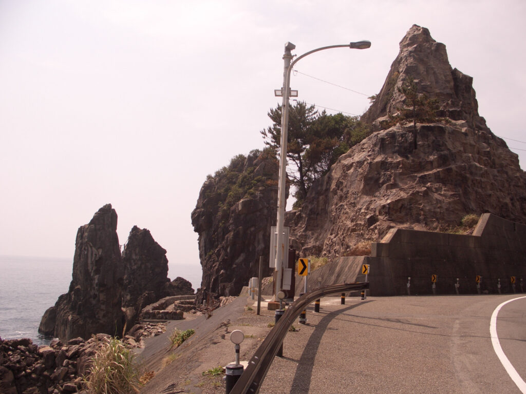
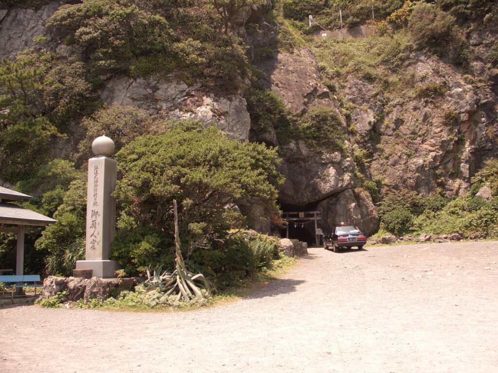
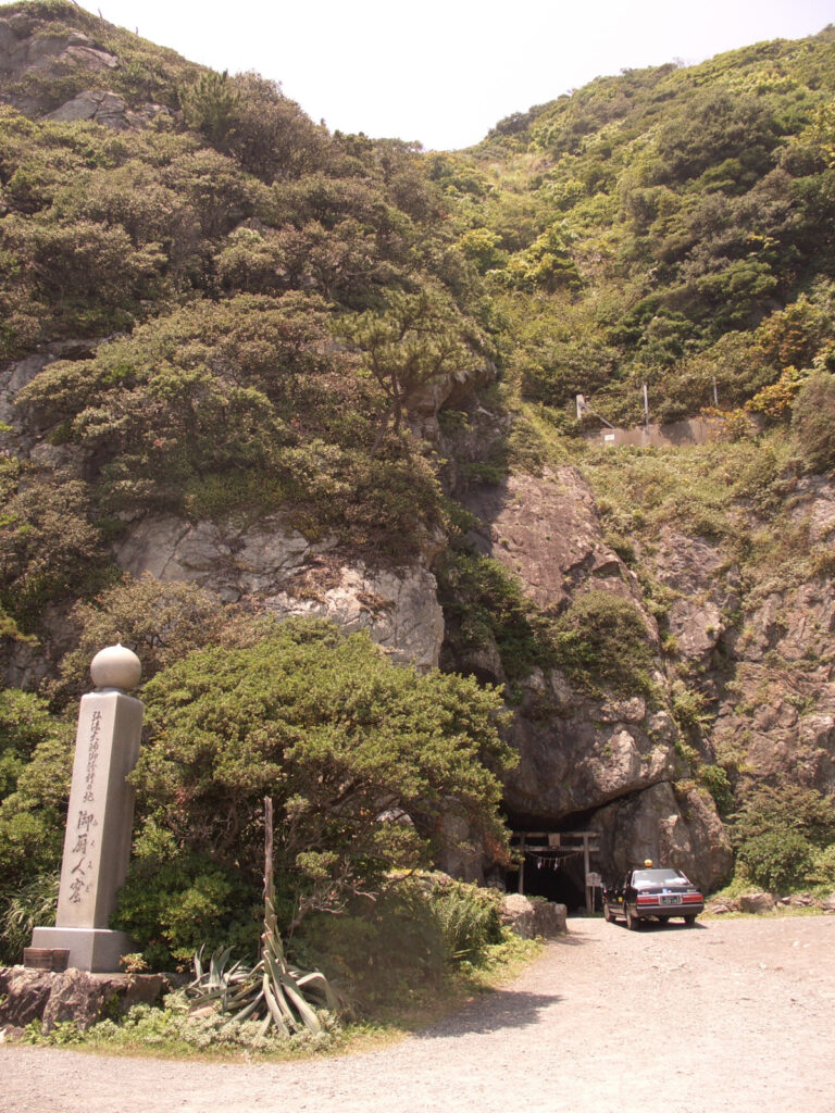
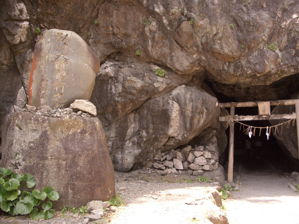
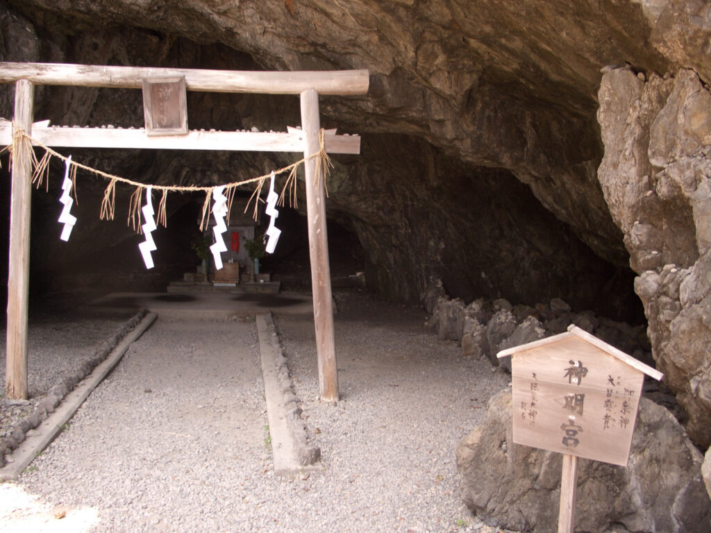
A little further along Route 55 from the statue of Kobo Daishi, there is the cave where Kobo practiced his asceticism. This is Mikuro-do Cave. It is said to have been used as Kobo-Daishi’s residence during his ascetic training as a young man.
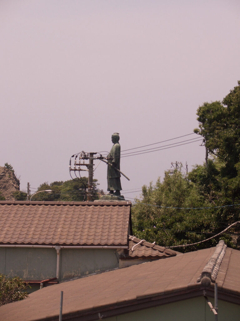
Cape Muroto was not a very well-developed tourist destination, although I came here (at that time in 2009). This is the edge! It may be that it is difficult to find a place called “this is the edge! Another factor may be that the lighthouse is located inside the road, rather than at the end. I did take a good look at the bronze statue of Shintaro Nakaoka!
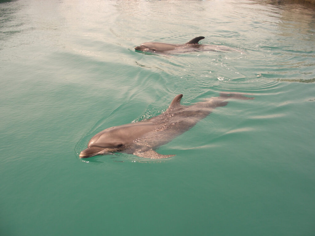
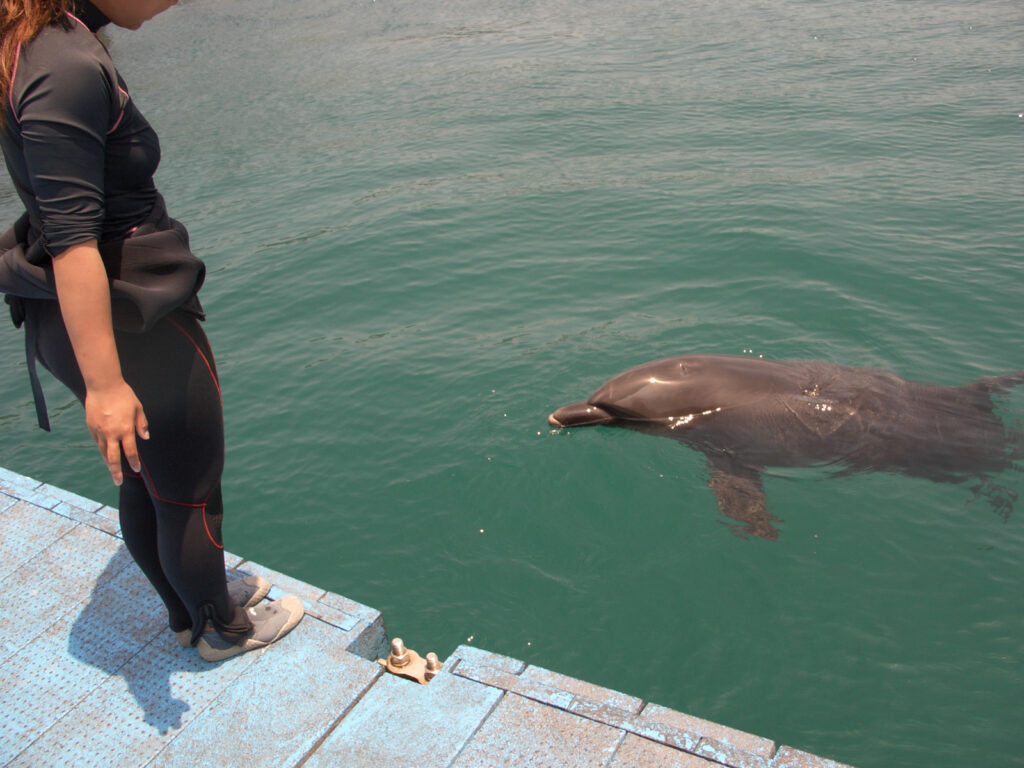
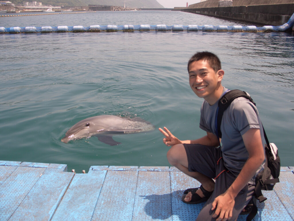
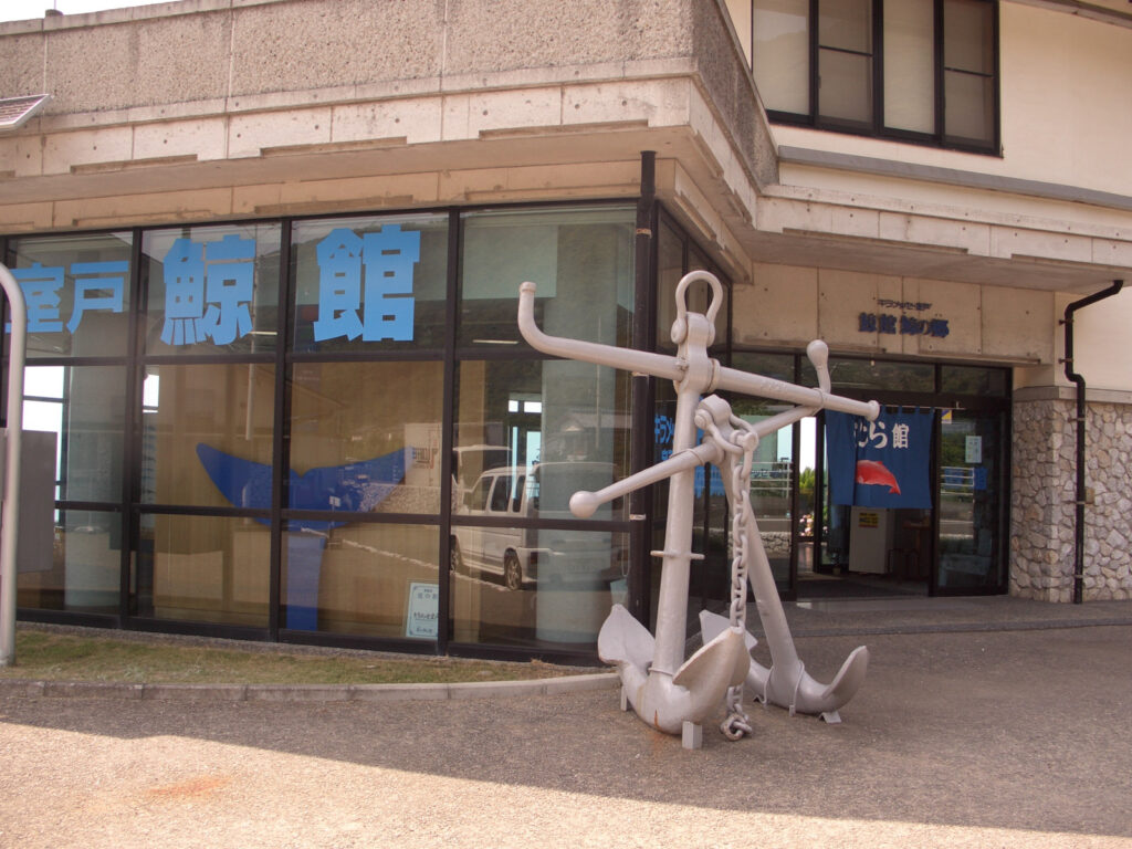
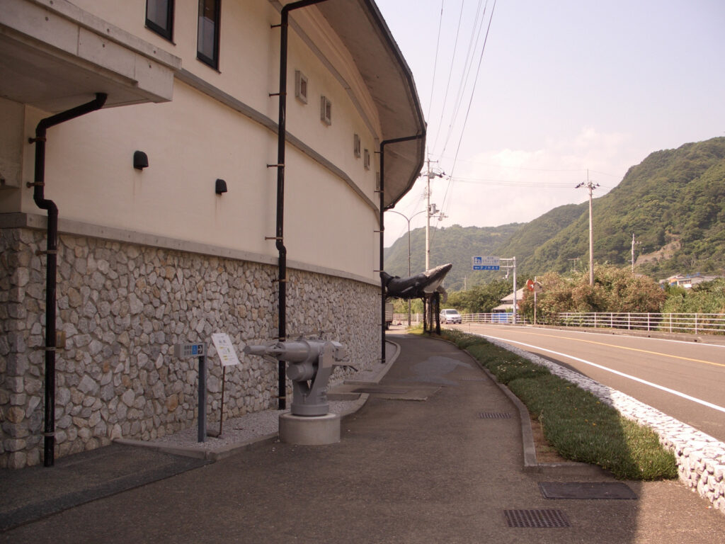
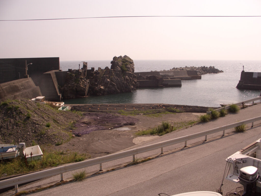
I also saw Cape Muroto and went to Sea Station “Toromu”. Went to the Dolphin Center and saw dolphins (420 yen); there were two dolphins (female), named “Iroha (scratches on the nose)” and “Iwapi (gray)”.
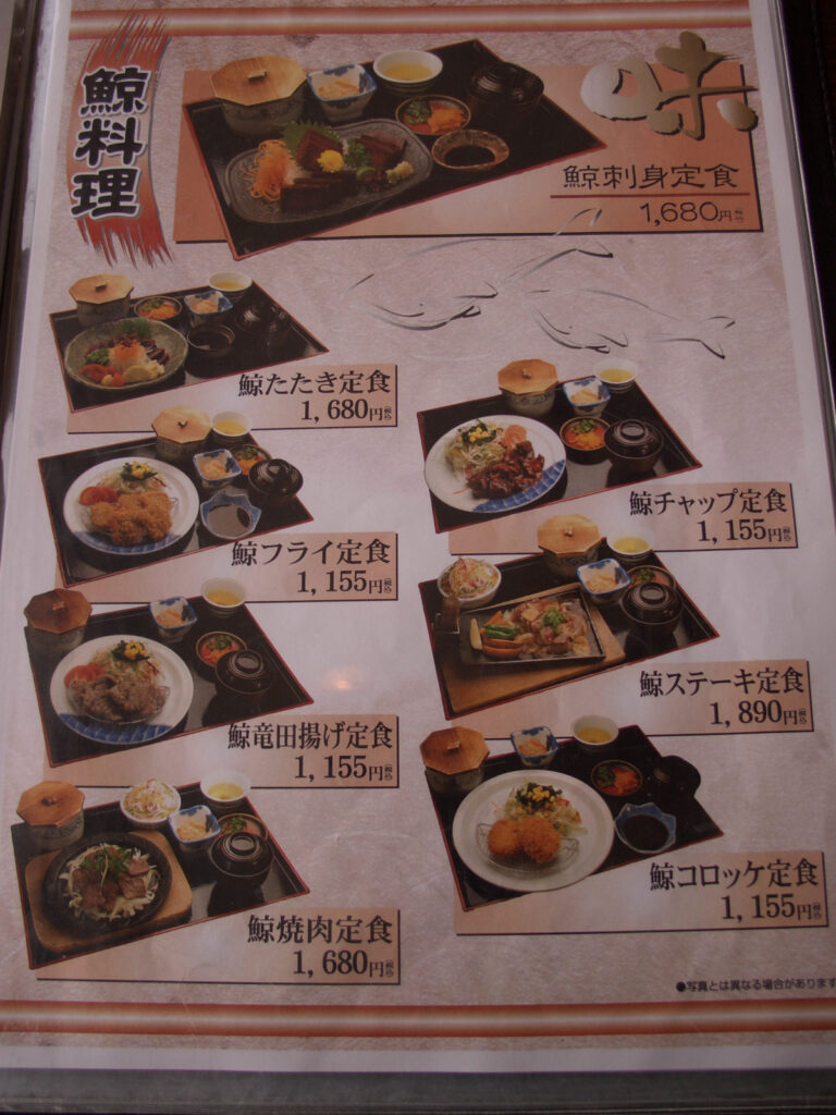
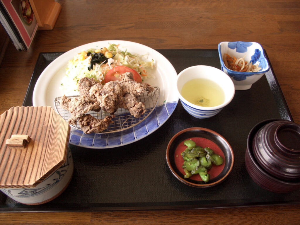
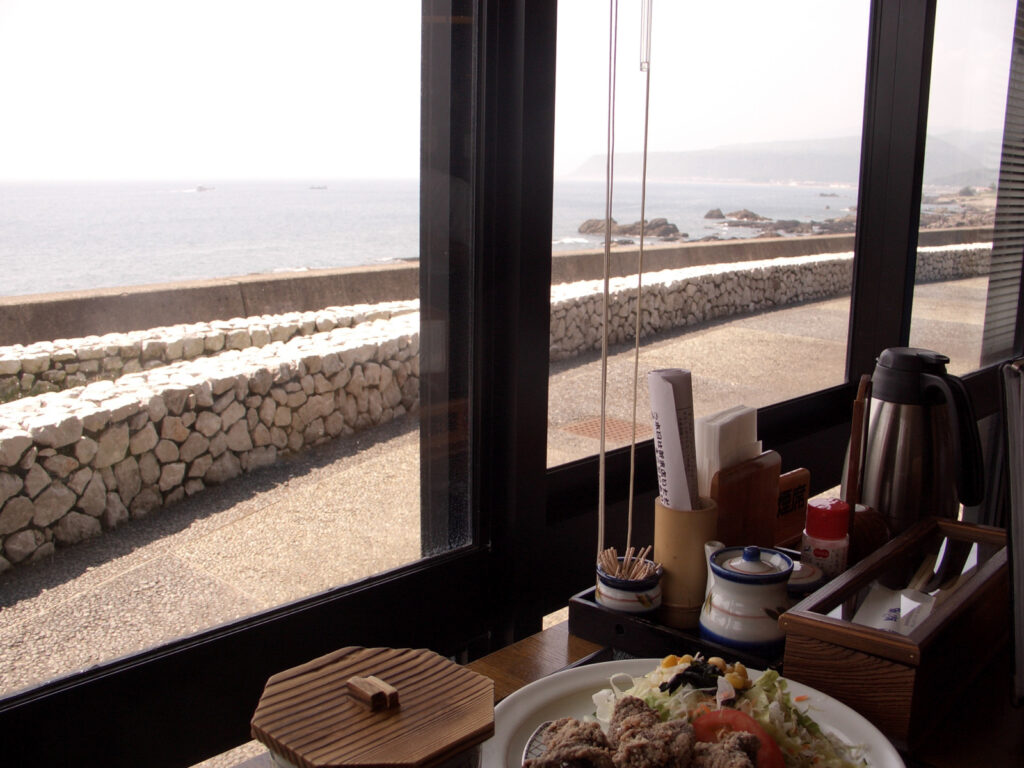
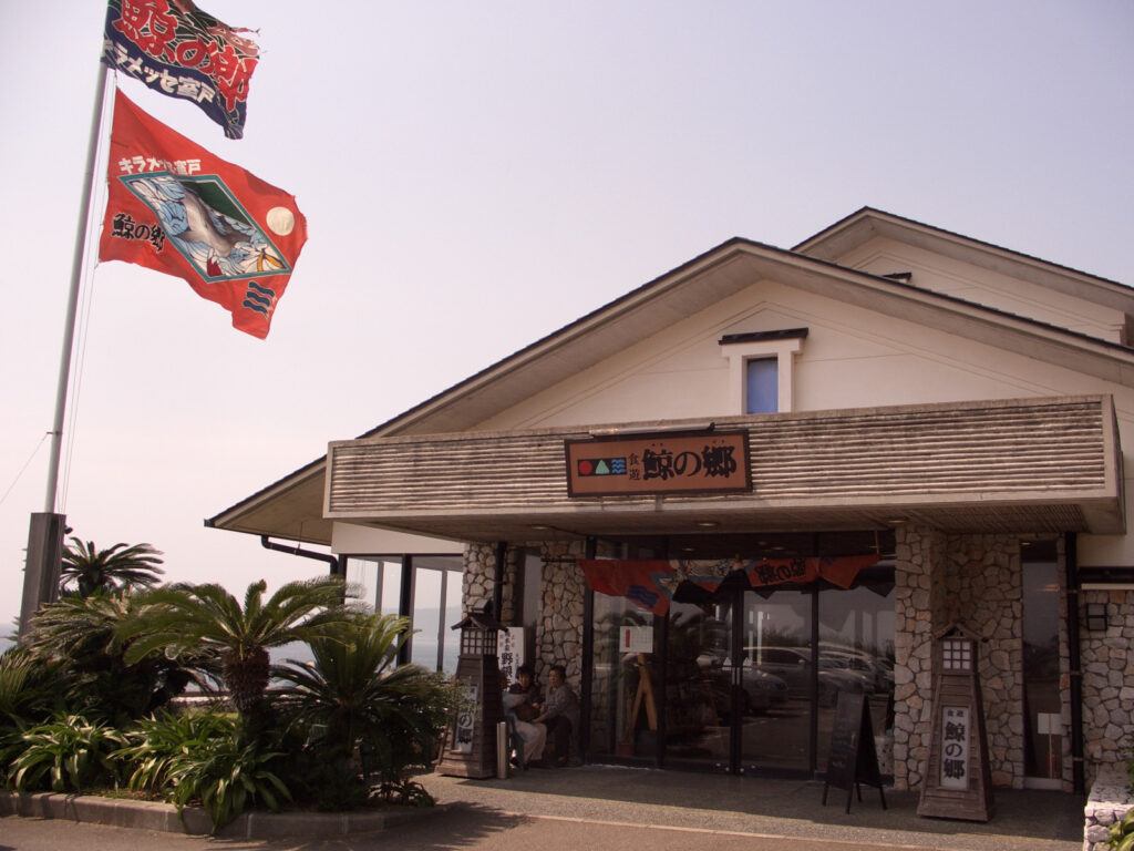
I had whale dishes for lunch at Kiramesse Muroto, a roadside station. I had my first tatsuta-age, but personally I didn’t like it. Maybe I should have had sashimi. When I was about to leave, an old man I didn’t know started talking to me. He seemed to be a bicyclist. He said he was interested in Hokkaido, so I will send him a postcard when I arrive there. He also bought me an ice cream. I didn’t know that plum ice cream was so good. I don’t like ume ice cream, but I was impressed.
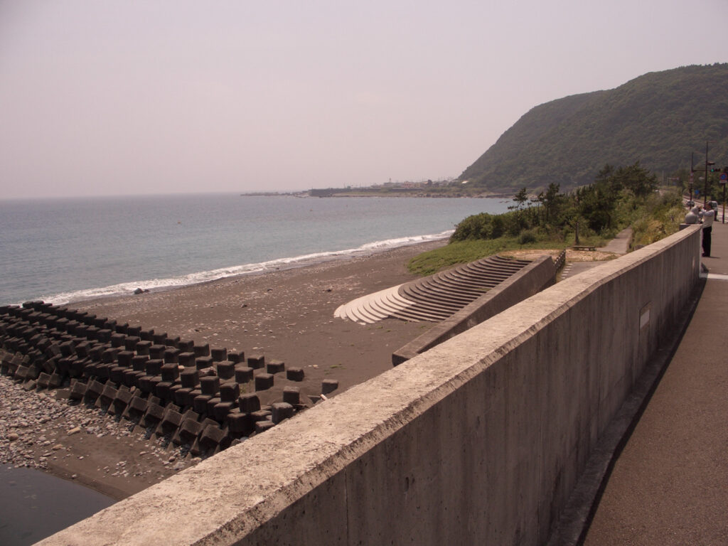
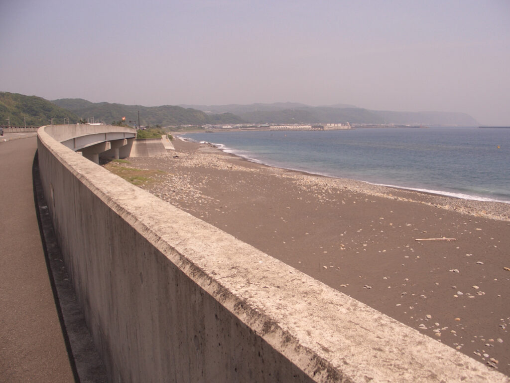
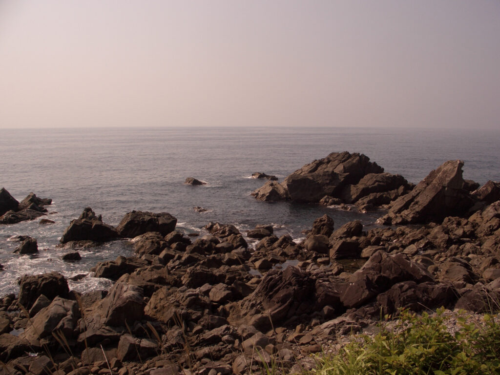
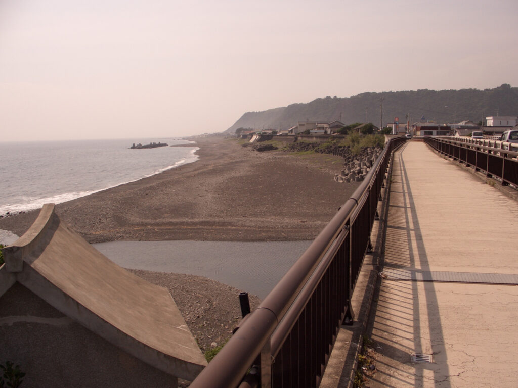
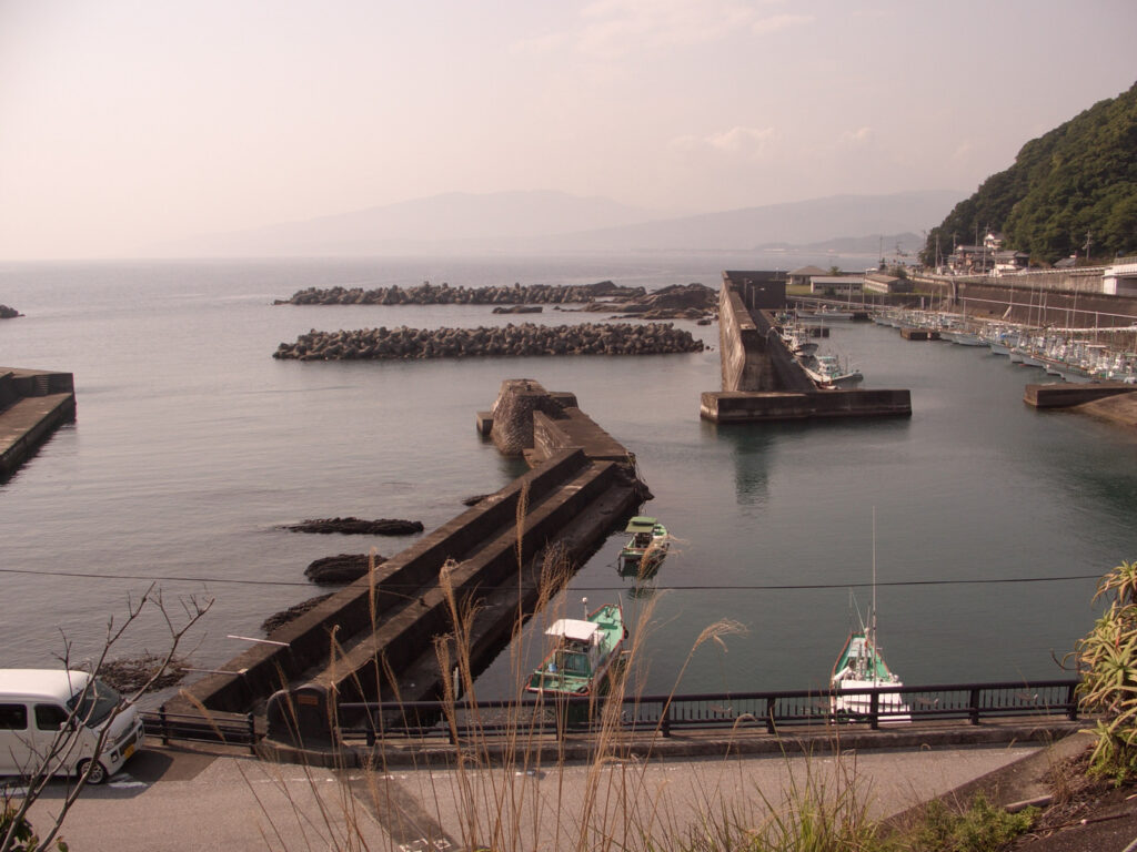
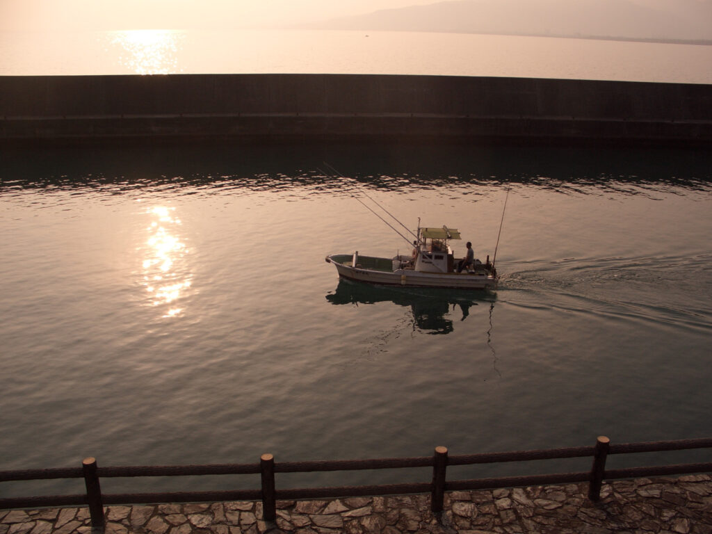
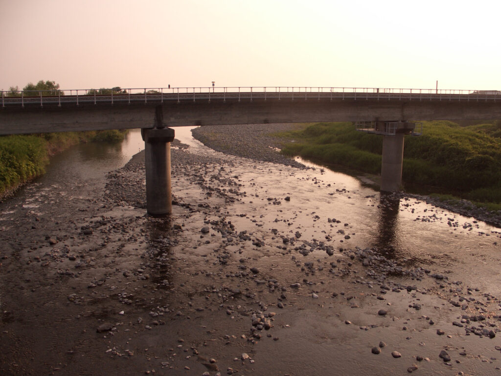
After leaving Kiramesse Muroto, I continued on Route 55 toward Kochi. Compared to the east side of Cape Muroto, there are some villages, so it was easier to take a break. Above all, the coast is fun to see!
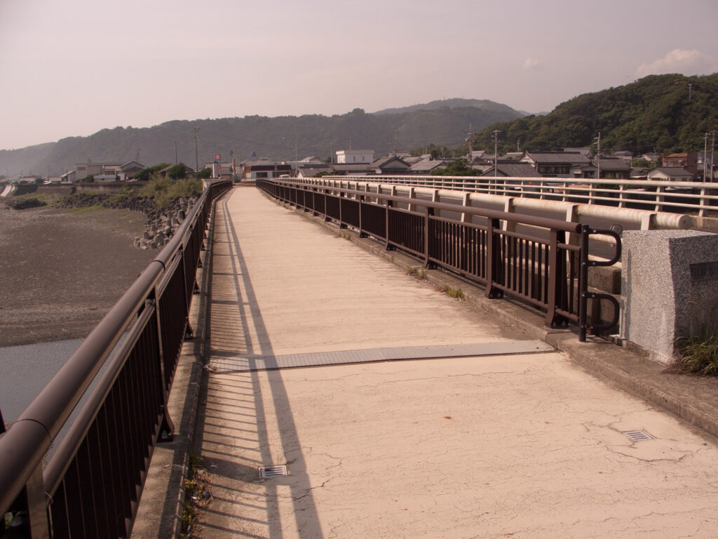
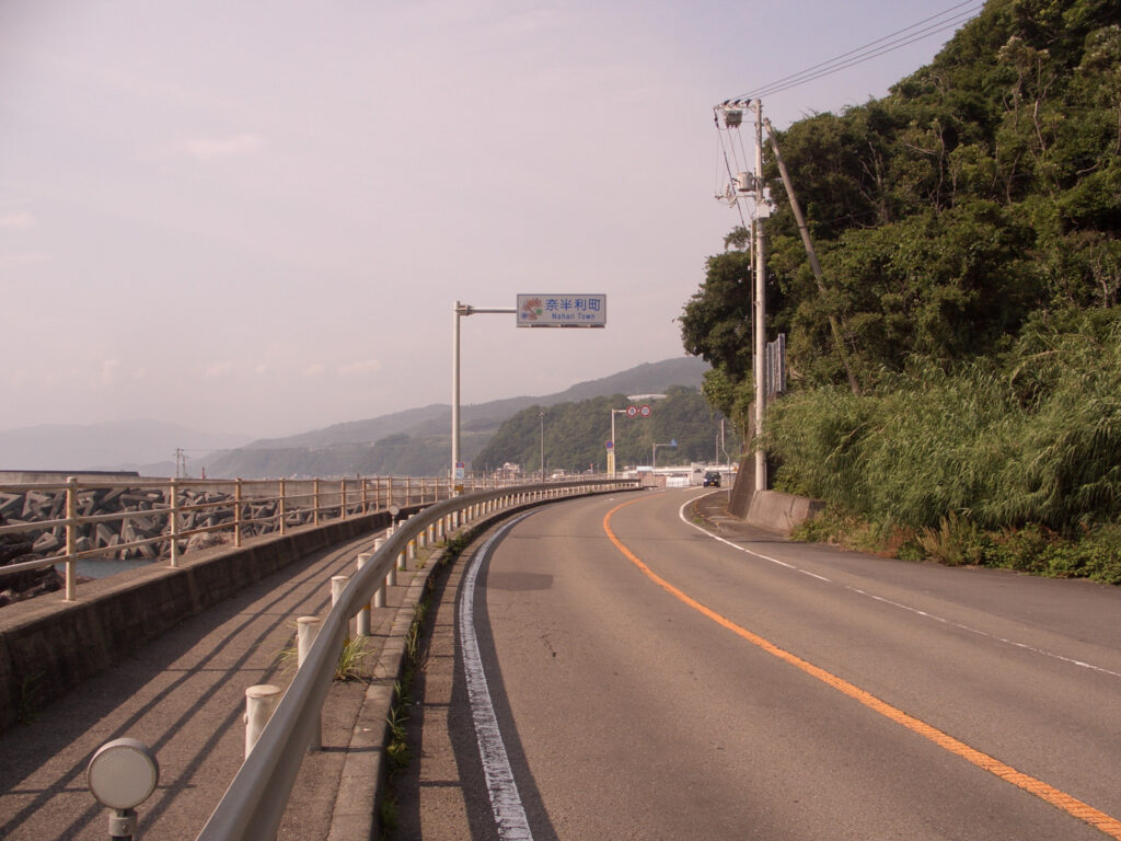
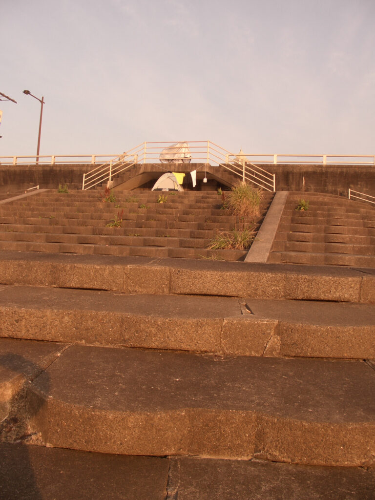
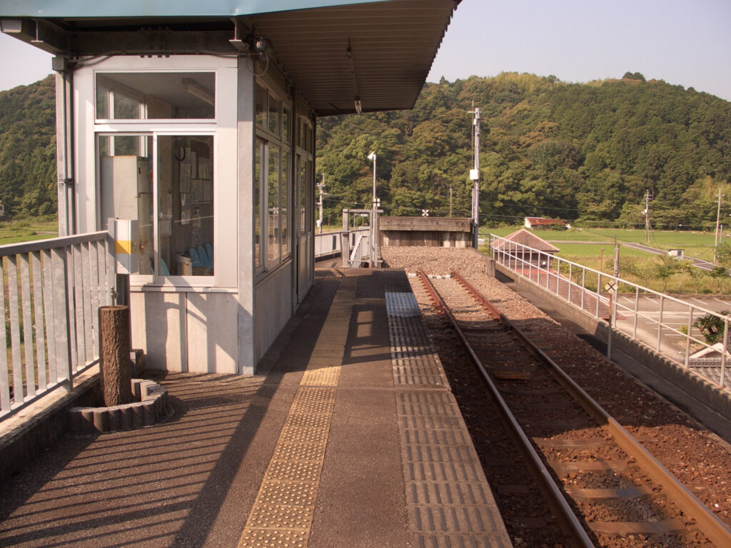
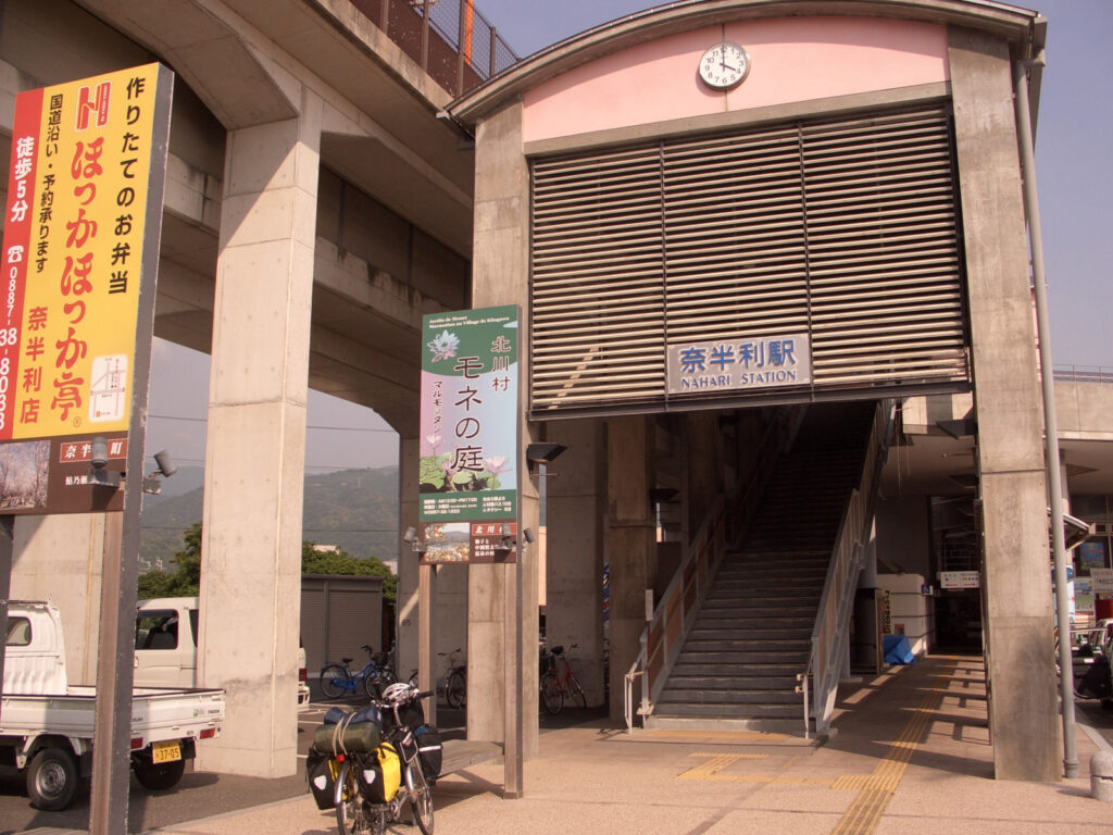
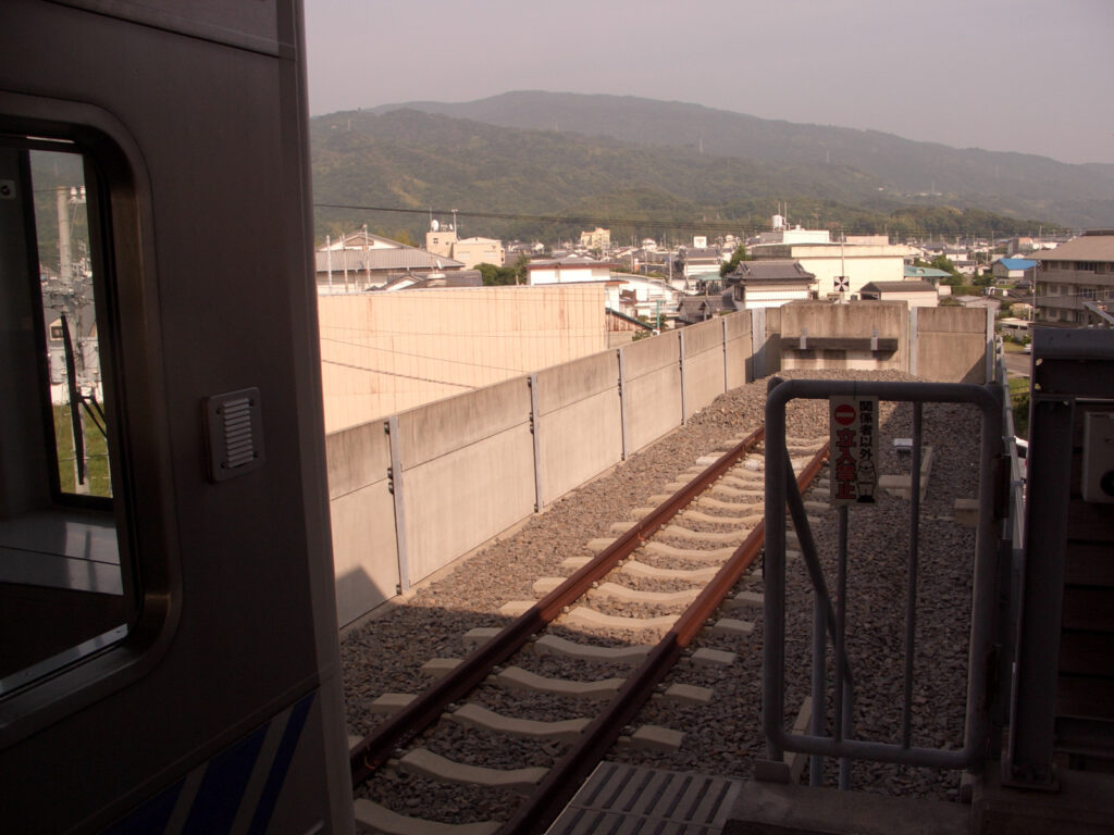
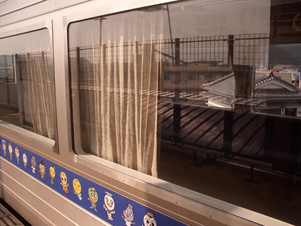
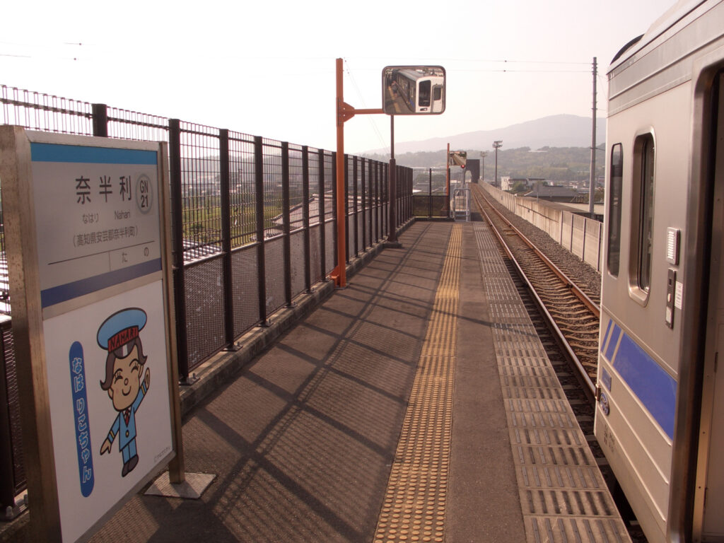
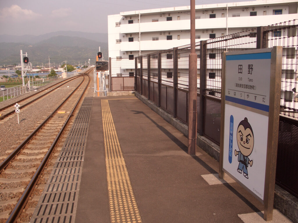
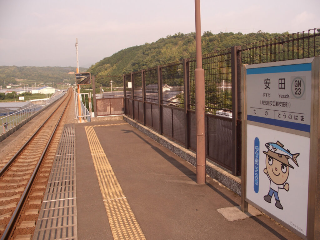
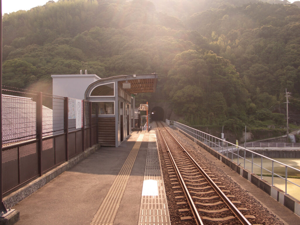
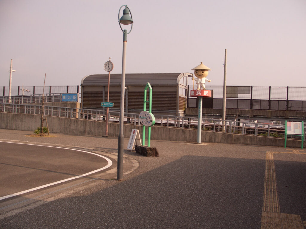
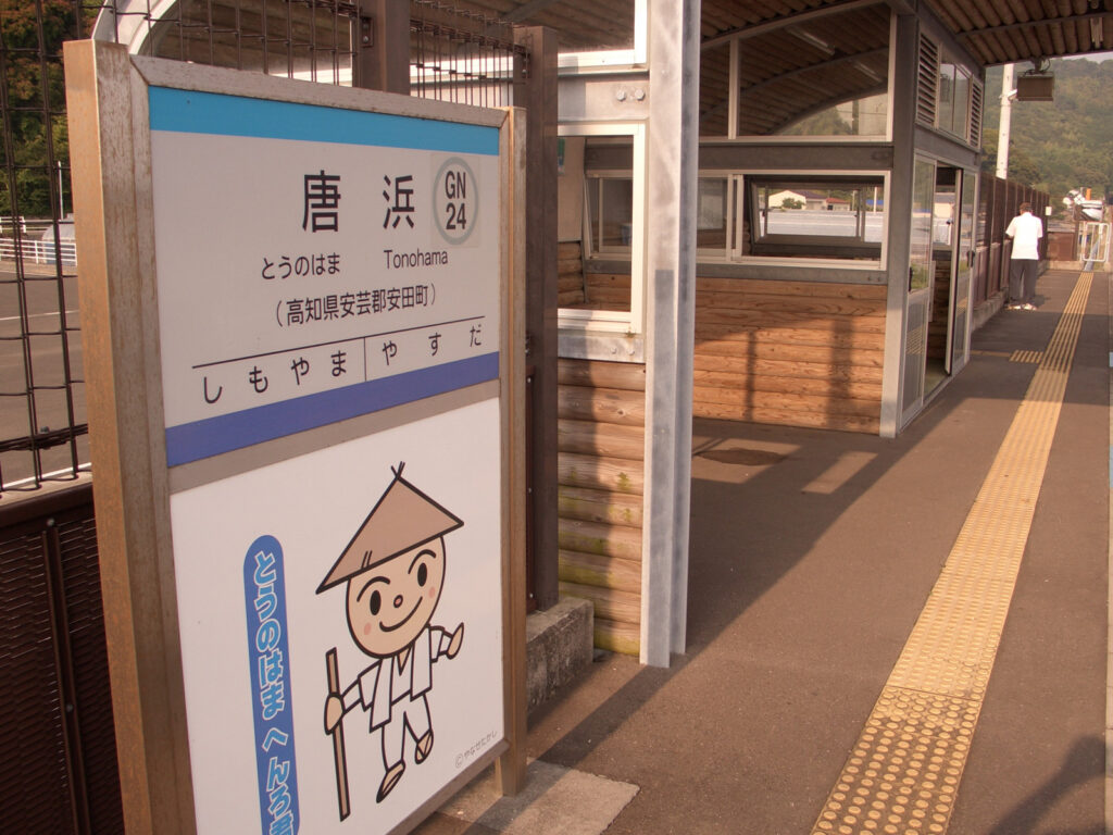
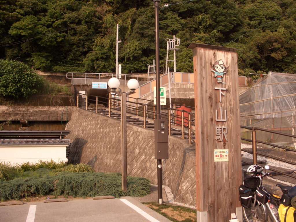
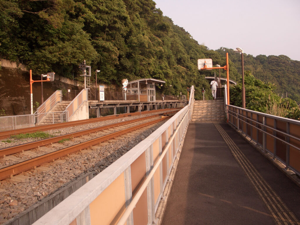
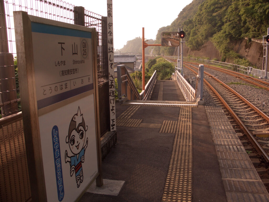
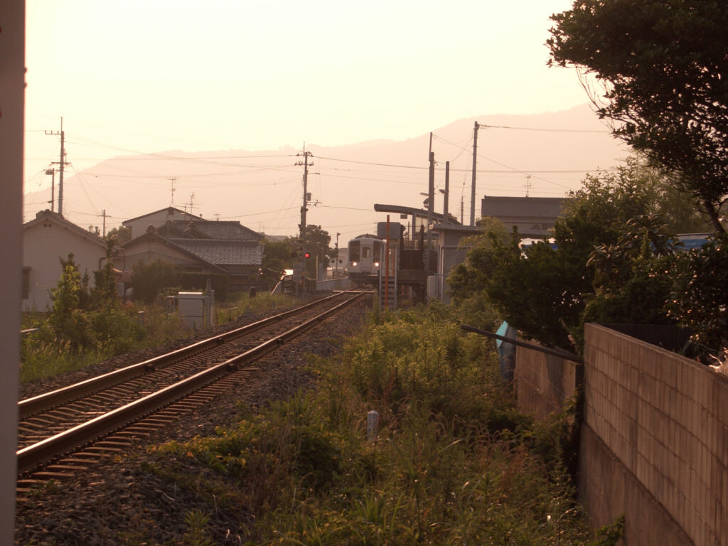
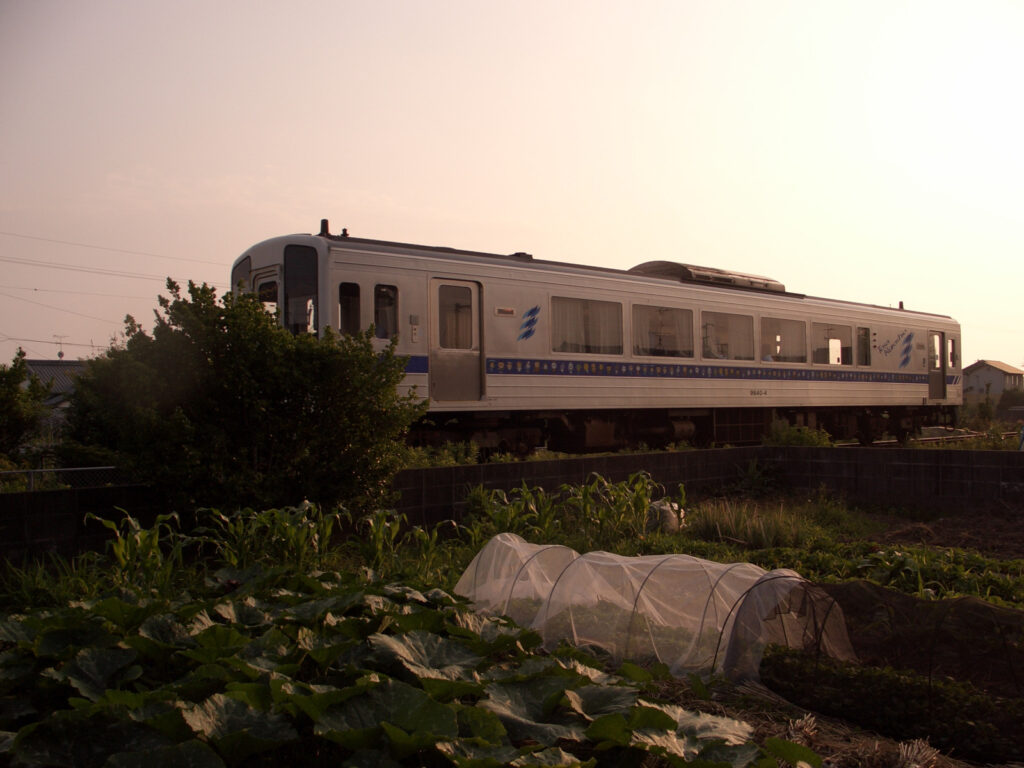
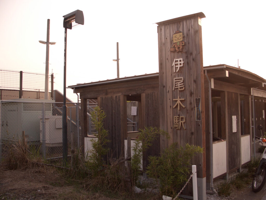
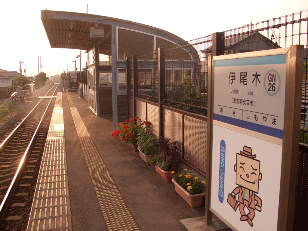
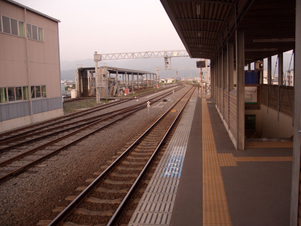
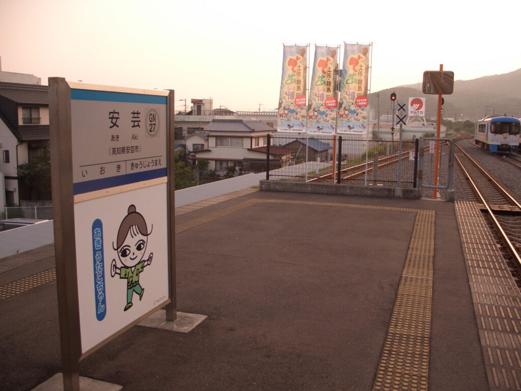
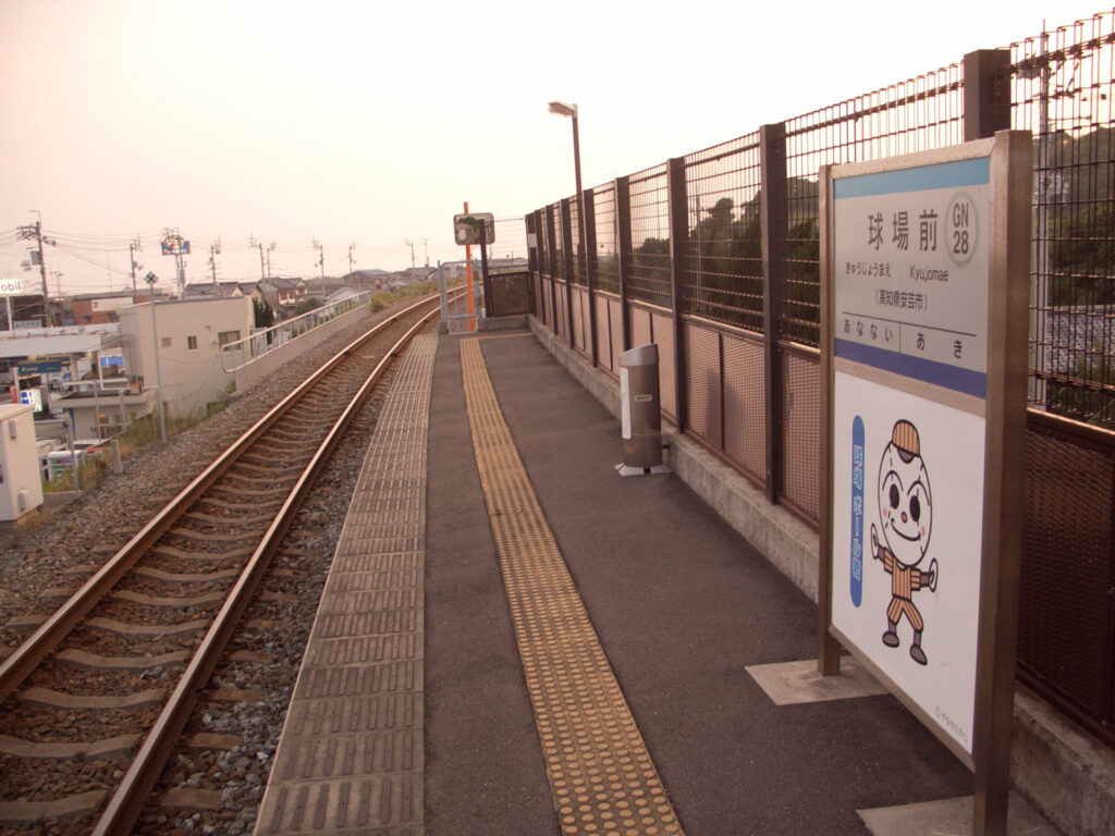
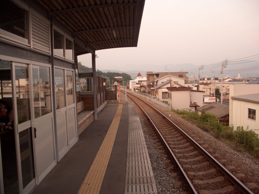
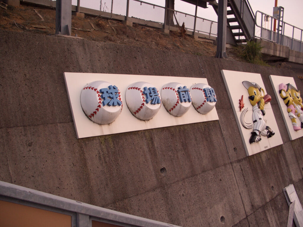
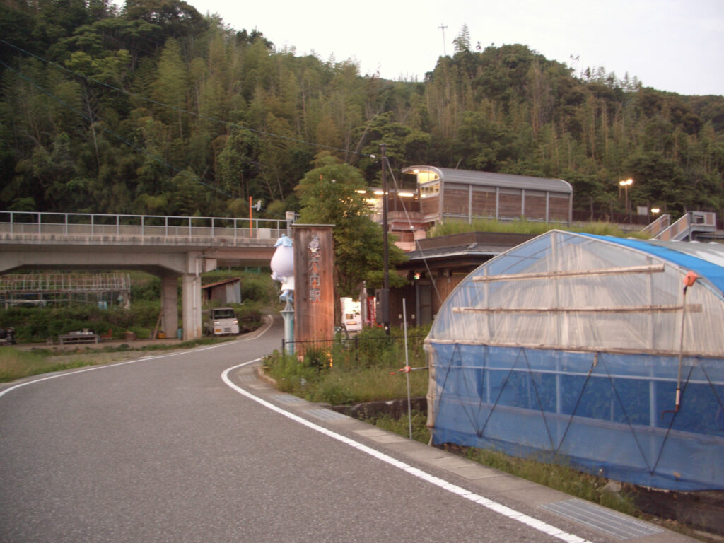
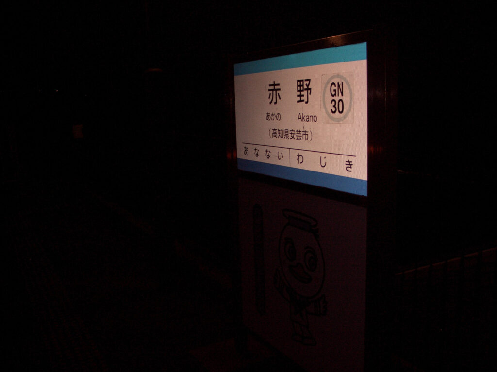
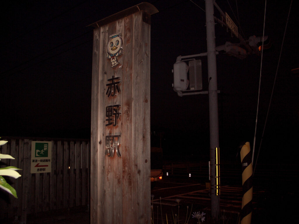
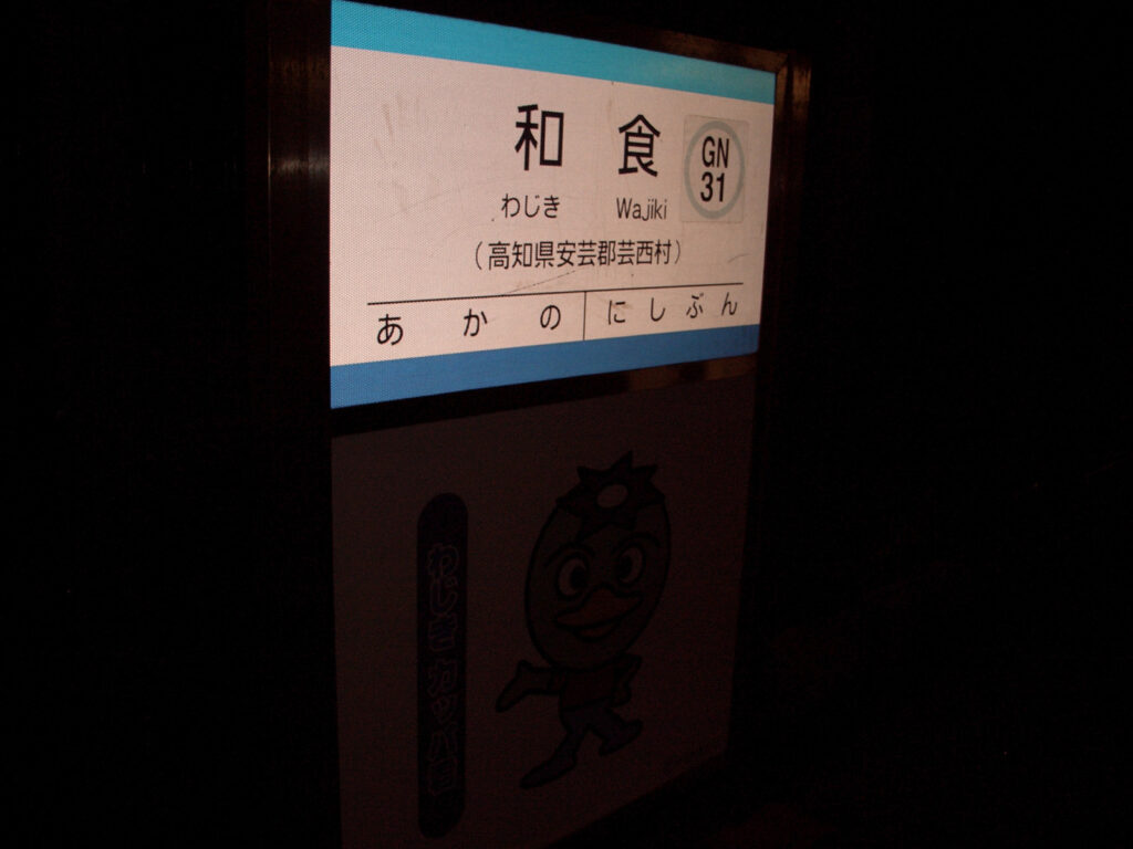
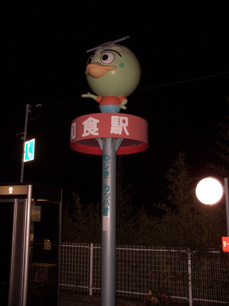
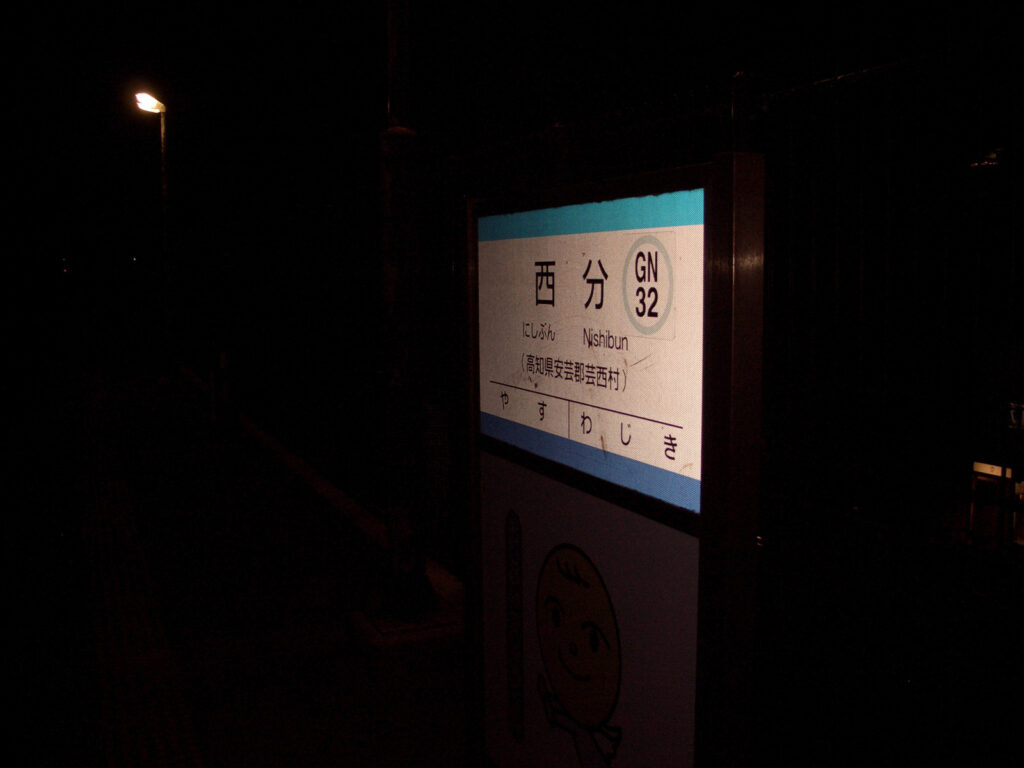
After reaching Nahari Station, continue west again alongside the railroad (Gomen Nahari Line). Since Nahari Station is the last stop, there is a car stop, but it is only a gravel stop, so it is a little scary that the car body might fall off the viaduct if you drive through here. Gomen Nahari Line has characters designed by Takashi Yanase at each station, which is fun to see!
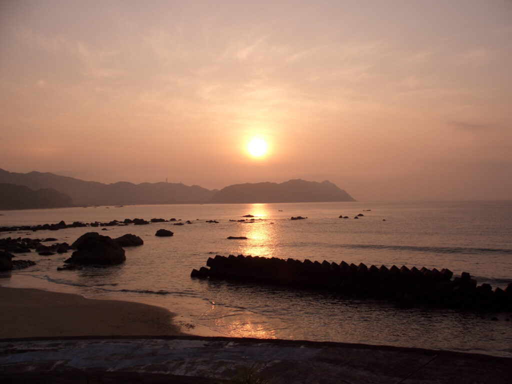
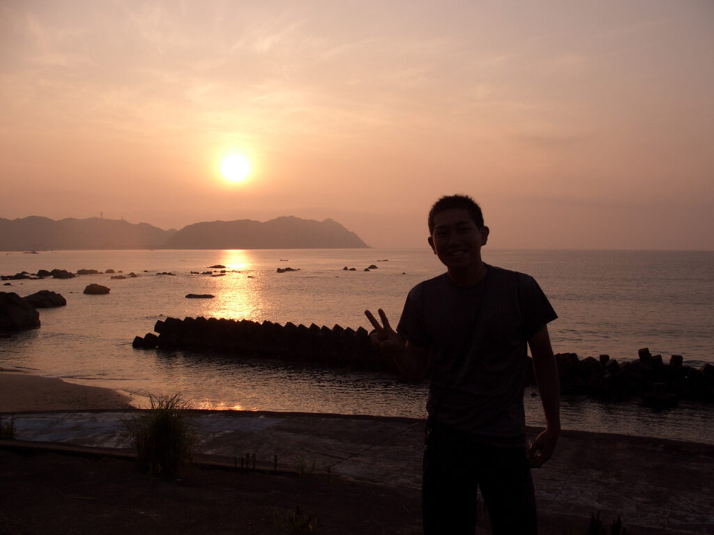
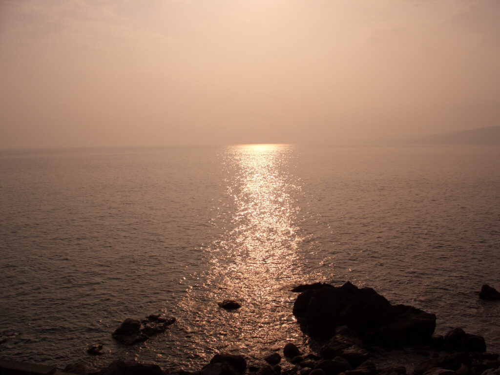
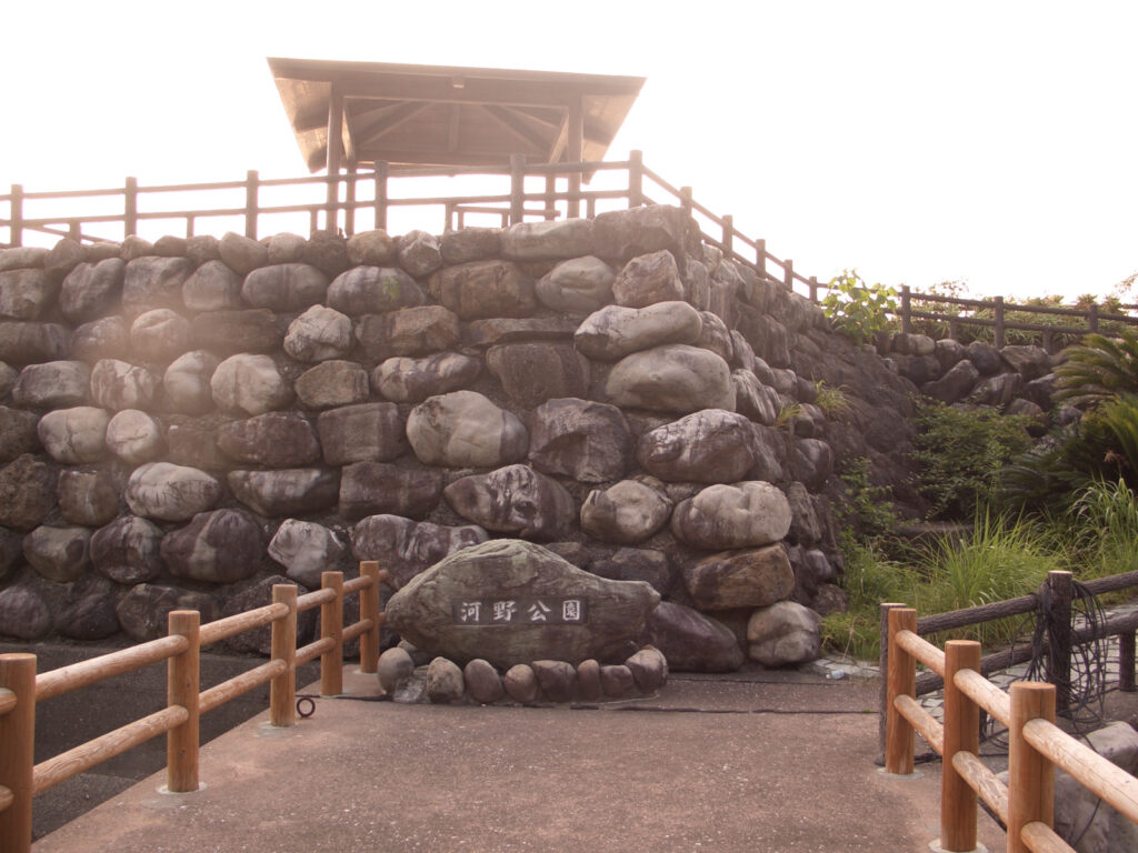
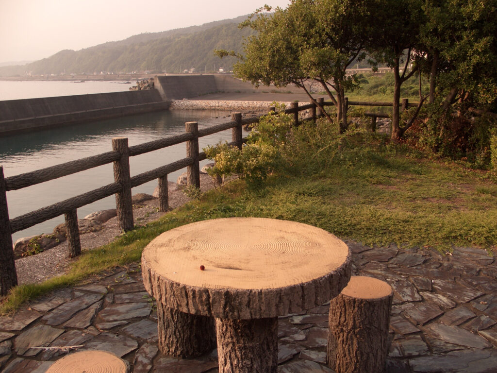
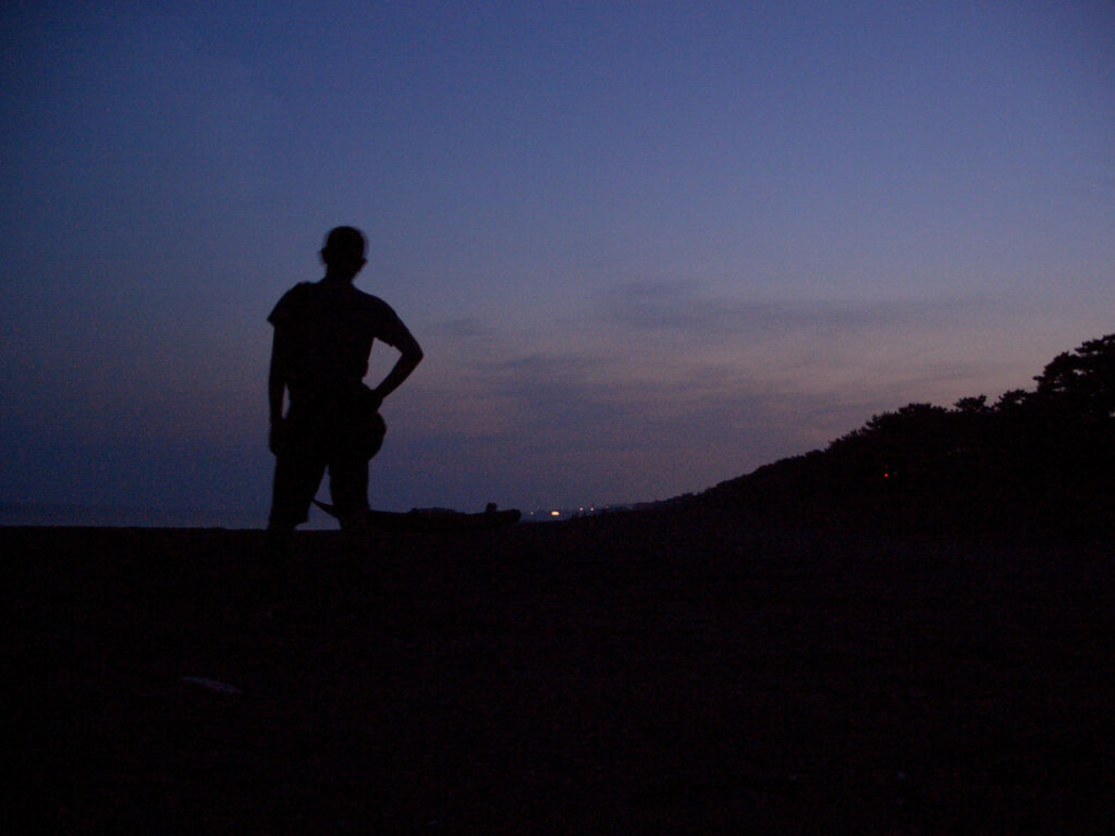
On the way, I took a break at Kono Park. The sun was on the west side at the time, so I was able to see quite an emotional landscape. It is fun to be able to see this kind of scenery on a trip. When you are working, it is hard to see the sunset unless you want to.
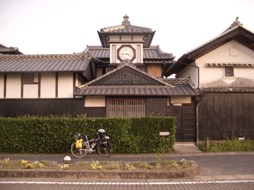
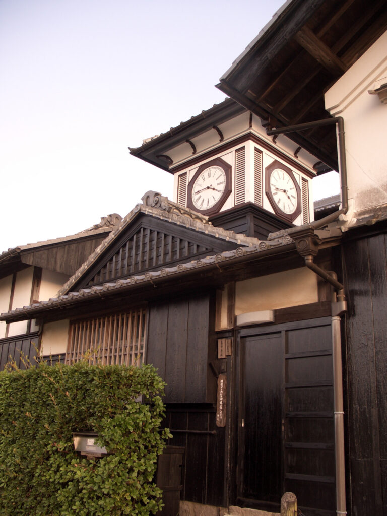
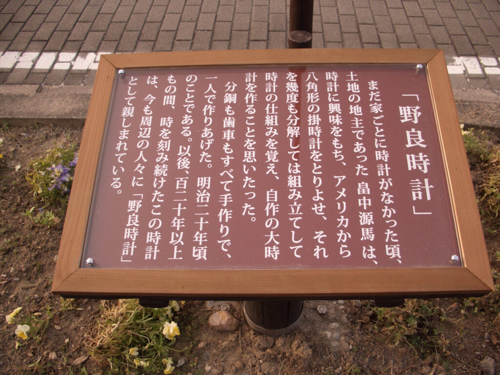
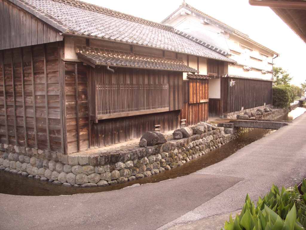
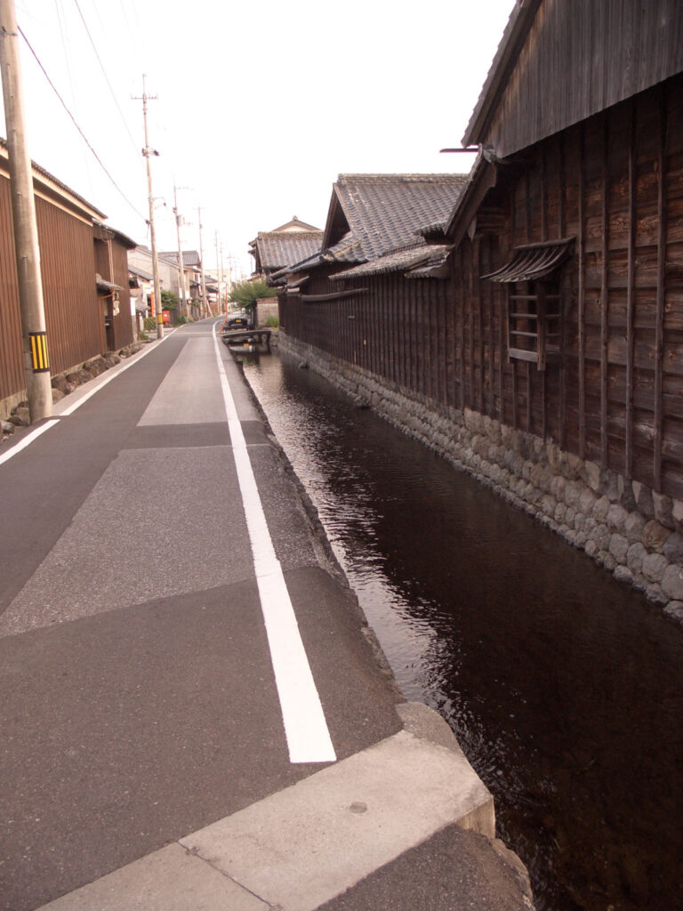
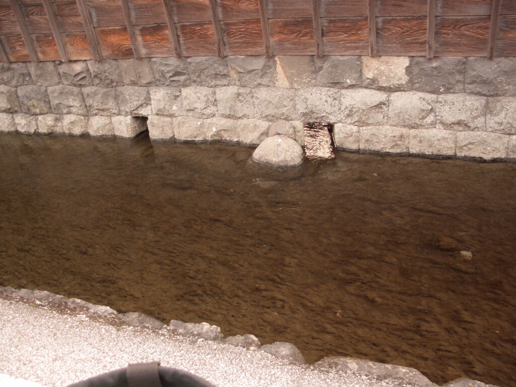
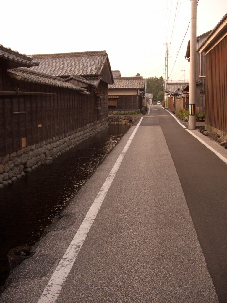
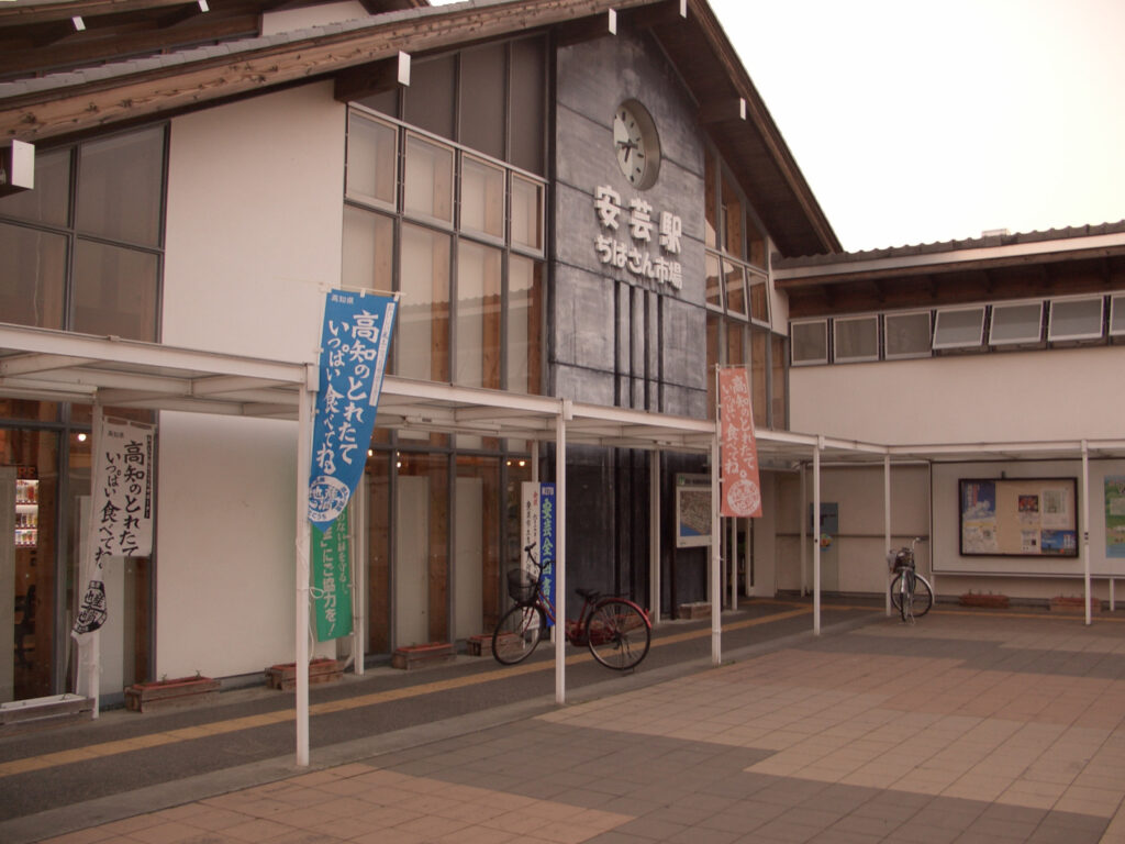
I moved toward Kochi with the Gomen nahari Line by our side, and stopped to see the Nora Clock in Aki City on the way. Nora Clock is a clock tower that was completed by Genma Hatanaka, a landowner, in the mid-Meiji period when there was no clock in each house, and everything from gears to weights were handmade. The Nora Clock may seem to be the only tourist attraction, but the area surrounding the clock tower is also home to many fine old-fashioned houses, and the townscape of those days still remains.
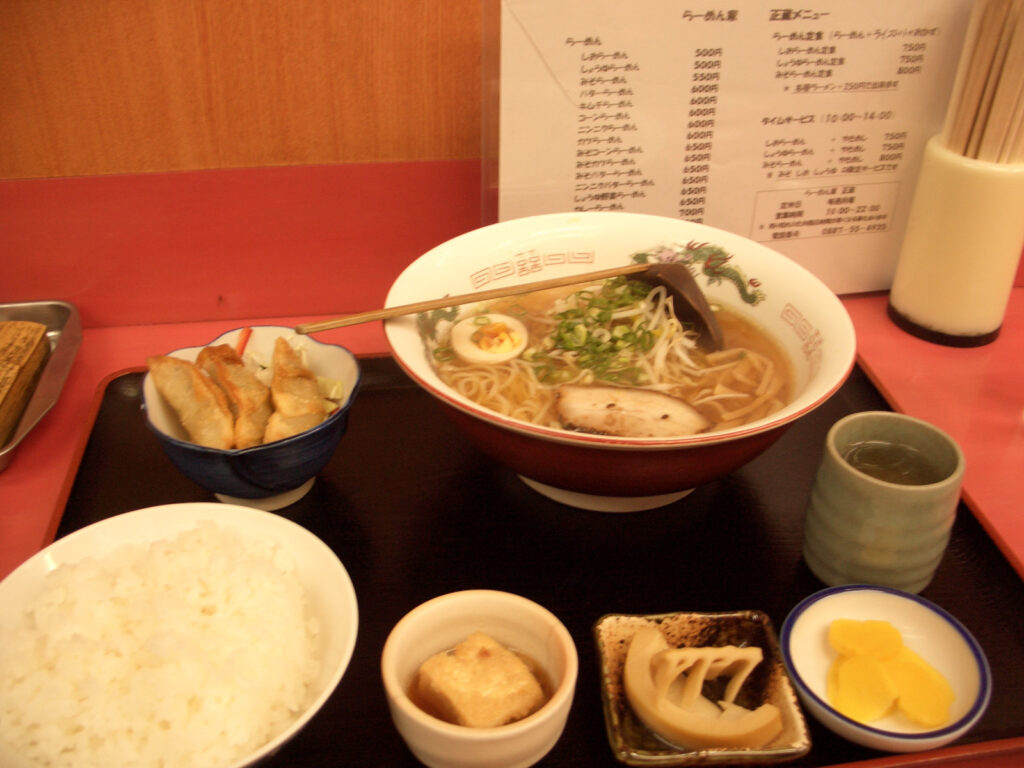
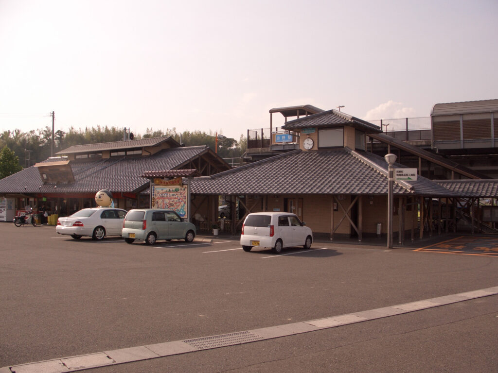
After that, I continued onward and upward along the coast, but it finally became dark, even though it was June. At any rate, the scenery on the coast is great. I had a soy sauce ramen set for 780 yen at Ramen Shozo on the way to the roadside station “Yasu,” which I decided to stay at after looking at the map on the way. The guy at the store was too nice.
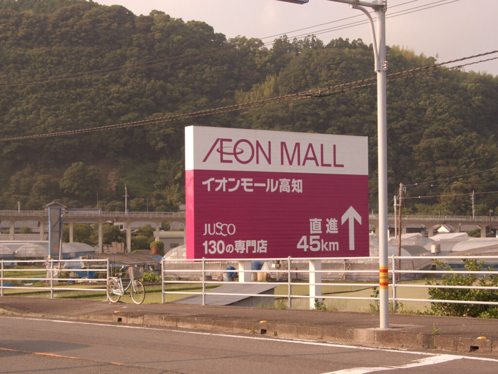
I tried to pitch my tent at a roadside station, but a local who spoke to me let me stay in a hall-like place. It is the best. This time, I found a sign in Kochi that said the Aeon Mall is 45km away. Rumor has it that there is a sign 150km away in Hokkaido. I would like to see it!
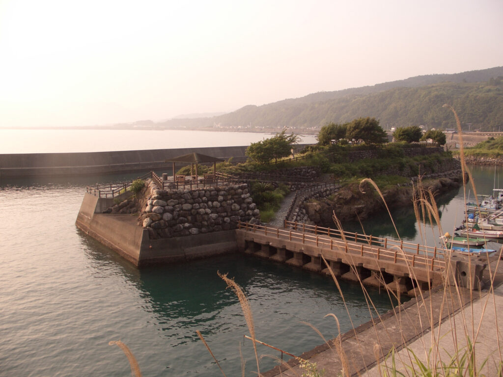
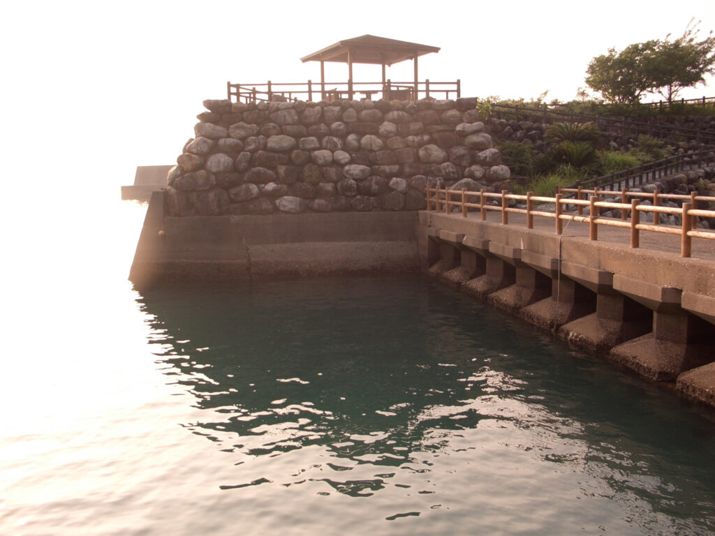
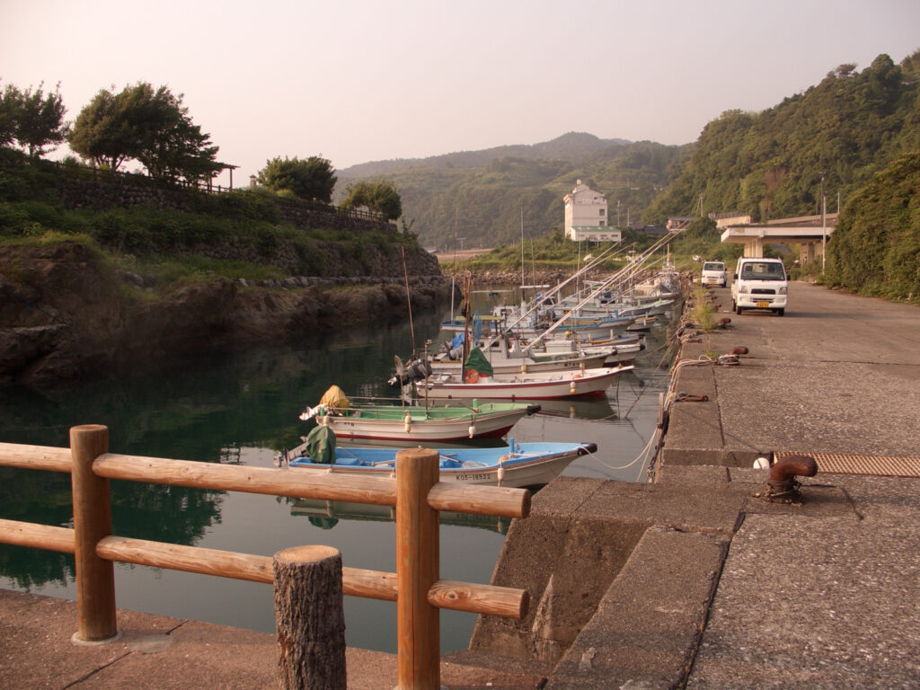
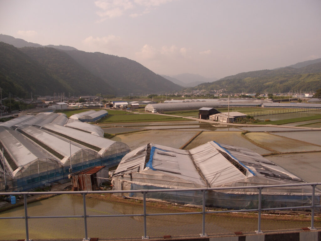
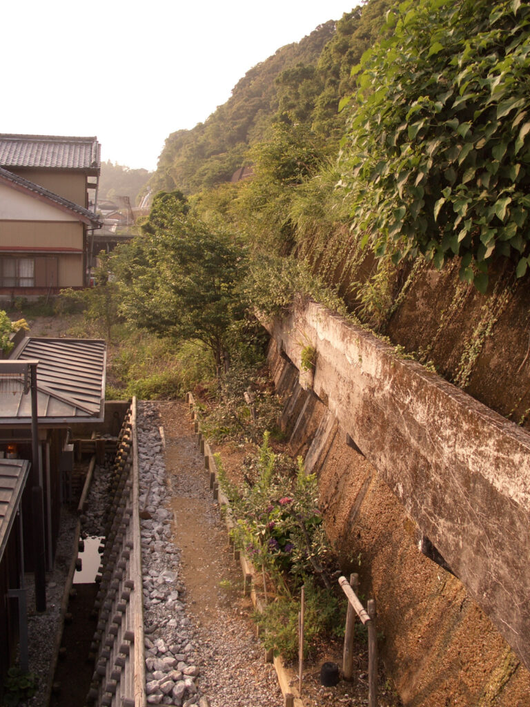
Gomen nahari Line Photos
I took some photos other than Nahari station on the Gomen nahari Line, but it was a mess to put them in the diary above, so I’ll put them all together here. I wonder how it has changed or not.
Log
Records
2009年の記録です
Travel Time :15h00m (7:40-22:40)
Distance travelled : 121.55km
GPS Log


Comments